Summary
Standing at an impressive elevation of 10,157 feet, it is the highest peak in the Bitterroot Range. This majestic mountain provides breathtaking panoramic views of the surrounding valleys and peaks, making it a popular destination for mountaineers and hikers.
During the winter season, Trapper Peak receives a significant amount of snowfall, ranging from 200 to 400 inches, depending on the year. This accumulation creates a substantial snowpack that persists well into the spring months, providing excellent opportunities for winter sports and backcountry exploration. Additionally, the mountain's snowpack feeds several creeks and rivers in the area, including Trapper Creek and Blodgett Creek, which experience increased runoff during the melting period.
Trapper Peak derives its name from the fur trappers that once roamed the region during the early 19th century. These trappers, seeking valuable pelts, ventured into the rugged wilderness of the Bitterroot Range, often encountering harsh climates and challenging terrain. Today, Trapper Peak stands as a testament to their courage and tenacity. As with many mountains, Trapper Peak also carries its fair share of lore and legends. While specifics may vary, tales of lost treasures, mysterious disappearances, and encounters with supernatural beings have captivated the imagination of locals and visitors alike. Whether you are an experienced mountaineer seeking a challenging ascent or simply a nature lover looking for breathtaking scenery, Trapper Peak offers a captivating experience in the heart of the Rocky Mountains.
°F
°F
mph
Wind
%
Humidity
15-Day Weather Outlook
5-Day Hourly Forecast Detail
Regional Streamflow Levels
10
Cubic Feet Per Second
1,160
Cubic Feet Per Second
197
Cubic Feet Per Second
221
Cubic Feet Per Second
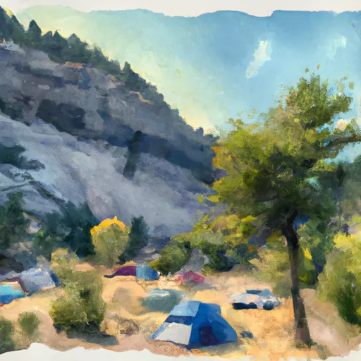
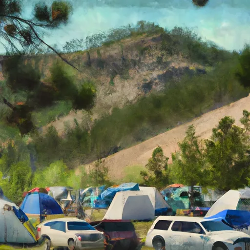
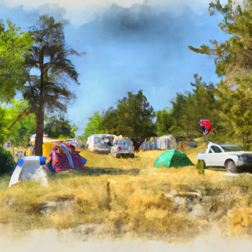
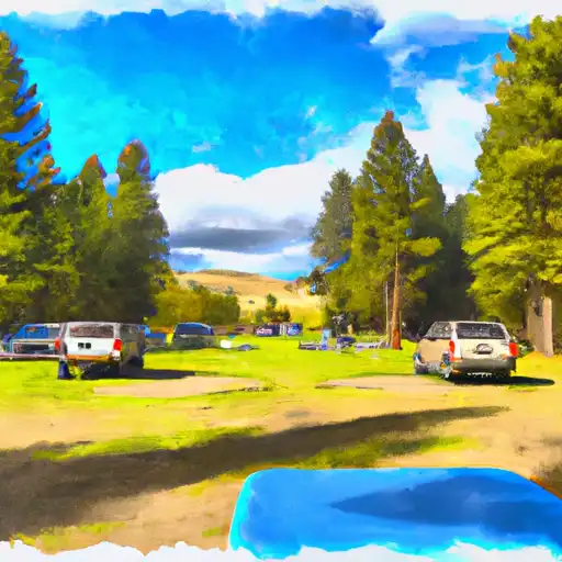
Area Campgrounds
| Location | Reservations | Toilets |
|---|---|---|
 Sam Billings Memorial
|
||
 Sam Billings Memorial Campground
|
||
 Rombo
Rombo
|
||
 Rombo Campground
|
||
 Hannon Memorial campground
|
||
 Hannon Memorial FAS
|
