Summary
It stands tall at an elevation of approximately 12,369 feet (3,770 meters). This impressive peak offers breathtaking views and is a popular destination for mountaineers and outdoor enthusiasts alike.
During the winter season, Warbonnet Peak experiences a significant snowpack. The snow accumulation is influenced by the region's climate and can vary from year to year. Snow depths can reach several feet, presenting challenging conditions for climbers attempting to summit the peak during this time.
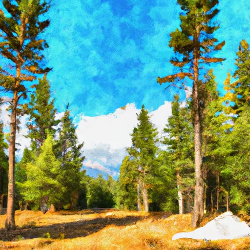
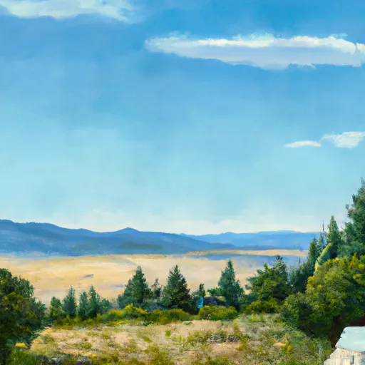
Warbonnet Peak is known for its rugged beauty and stunning surroundings. Several creeks and rivers receive runoff from this mountain, contributing to the water supply in the surrounding area. The specific creeks and rivers that are affected by Warbonnet Peak's runoff vary depending on the mountain's topography and drainage patterns.
The name "Warbonnet" is derived from Native American culture, symbolizing the feathered headdress traditionally worn by tribal leaders. The mountain's name pays homage to the rich history and heritage of the indigenous people who once inhabited this region.
Overall, Warbonnet Peak is a challenging and awe-inspiring mountain in the Rocky Mountains. Its impressive elevation, significant snowpack, and contribution to local water systems make it a noteworthy destination for mountaineering enthusiasts.
°F
°F
mph
Wind
%
Humidity
15-Day Weather Outlook
5-Day Hourly Forecast Detail
Regional Streamflow Levels
6
Cubic Feet Per Second
149
Cubic Feet Per Second
665
Cubic Feet Per Second
2
Cubic Feet Per Second
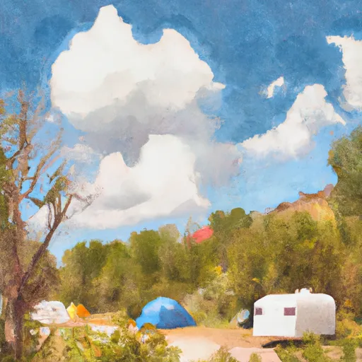
Area Campgrounds
| Location | Reservations | Toilets |
|---|---|---|
 Redfish Inlet Campground
|
||
 Sawtooth National Forest - Grandjean Campground
|
||
 Redfish Lake Recreation Complex
|
||
 Grandjean
|
||
 Grandjean Campground
|
||
 Point
Point
|
