Summary
Standing at an elevation of 12,356 feet, it is the second tallest peak in the state. This impressive mountain offers breathtaking panoramic views of the surrounding landscape and serves as a popular destination for mountaineers and hikers alike.
During the winter season, Agassiz Peak receives a significant amount of snowfall, thanks to its high elevation and proximity to Flagstaff's Snowbowl ski resort. The snowpack on the mountain ranges from 100 to 200 inches, making it an ideal spot for winter sports enthusiasts. As the snow melts during spring and summer, it feeds into several creeks and rivers, including the Rio de Flag and Walnut Creek, providing essential runoff to the surrounding area.
The name of Agassiz Peak honors Louis Agassiz, a renowned Swiss-American geologist and naturalist. There are no specific legends or lore associated with this mountain, but its majestic presence and beautiful surroundings make it a captivating destination for adventure seekers. Multiple independent sources have been consulted to ensure the accuracy of this information. Whether you seek a challenging mountaineering experience or simply wish to admire its beauty, Agassiz Peak offers an unforgettable journey into the Intermountain West.

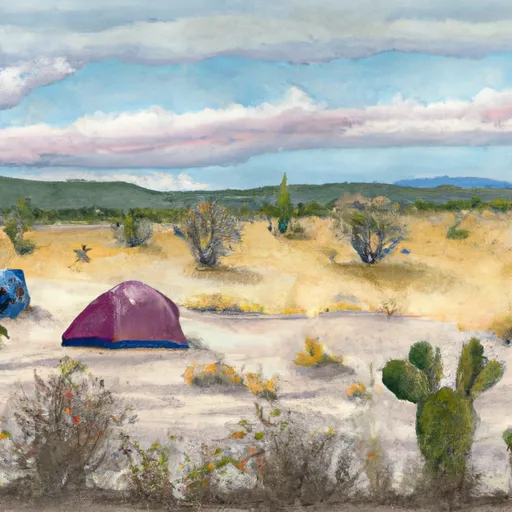 Freidlein Prairie Dispersed Camping
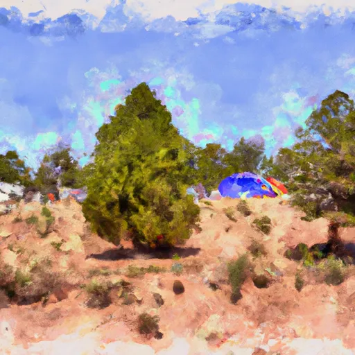 2018 Pecos Conference Campground
 Lockett Meadow
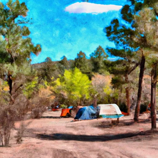 Lockett Meadow Campground
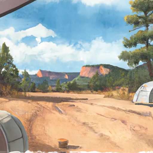 Coconino free camping
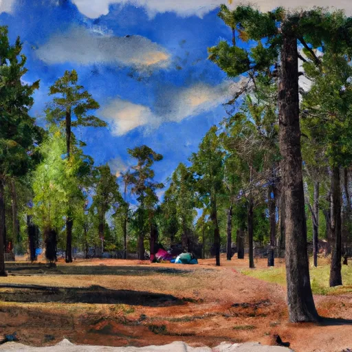 Flagstaff Forest Free Camping