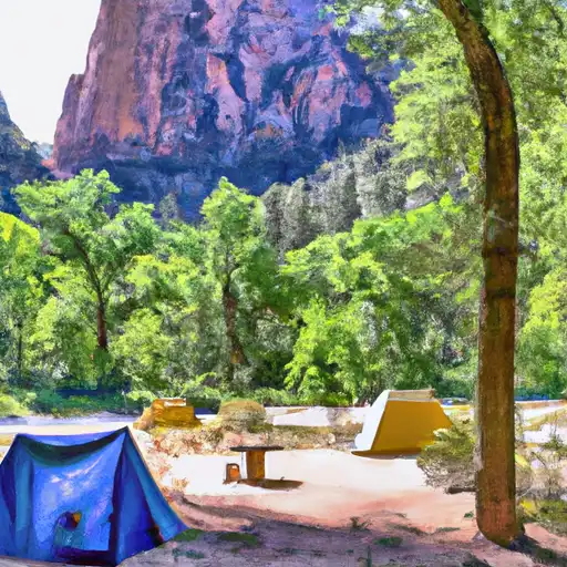
ANGELS LANDING

Climate Recreation Hydrology


Angels Landing is a prominent and iconic mountain peak located in the Intermountain West mountain range. Standing at an elevation of approximately 1,488 meters, it offers breathtaking views of the surrounding landscape. The mountain is known for its challenging and exhilarating hiking trail that attracts adventure enthusiasts from all over the world.

During the winter season, Angels Landing experiences varying snowpack levels, which can greatly influence the difficulty and safety of the hike. It is advisable for visitors to check local weather conditions and consult with park officials before attempting the ascent during this time. The mountain's snowpack can range from light dustings to heavy accumulations, making proper gear and precautions essential.

Angels Landing is not directly associated with any specific creeks or rivers, as it is primarily a standalone peak. However, nearby water bodies such as the Virgin River may receive runoff from the mountain during periods of snow melt or heavy rainfall.

The name "Angels Landing" is said to have been coined by Frederick Fisher, a Methodist minister who was part of a group exploring the area in the late 19th century. Legend has it that Fisher was so moved by the awe-inspiring views from the peak that he declared it must be a place where angels land. Over time, the name stuck, and Angels Landing has become a renowned destination for both hikers and nature lovers alike.

Red Flag Warning
Until 2024-07-27T06:00:00-06:00 National Weather Service
The National Weather Service in Salt Lake City has issued a Red Flag Warning for wind and low relative humidity, which is in effect from 10 AM Saturday to 10 PM MDT Sunday. The Fire Weather Watch is no longer in effect. * AFFECTED AREA...Fire Weather Zone 482 Western Uintah Basin, Fire Weather Zone 483 Southern Ashley National Forest, Fire Weather Zone 484 Tavaputs Plateau, Fire Weather Zone 488 Manti National Forest, Fire Weather Zone 489 San Rafael Swell, Fire Weather Zone 492 Central Utah West Desert, Fire Weather Zone 493 Central Utah Mountains, Fire Weather Zone 494 Henry Mountains, Fire Weather Zone 495 Color Country West Desert, Fire Weather Zone 496 Color Country Mountains, Fire Weather Zone 497 Mojave Desert and Fire Weather Zone 498 Grand Staircase. * WINDS...On Saturday, southwest 15 to 25 mph with gusts up to 35 mph. On Sunday, southwest winds 10 to 20 mph with gusts 25 to 30 mph. Winds are expected to diminish Saturday night before redeveloping early Sunday afternoon. * RELATIVE HUMIDITY...As low as 6 to 15 percent. * IMPACTS...Critical fire weather conditions are possible. Any new fire starts or existing fires may spread rapidly.

July 26, 2024

°F

°F

mph

Windspeed

%

Humidity

Regional Streamflow

53

Cubic Feet Per Second

3

Cubic Feet Per Second

63

Cubic Feet Per Second

62

Cubic Feet Per Second

Explore the Interactive Map

View recreational hotspots like fishing, camping, and parks, alongside climate-related data such as river levels, snowpack, and weather forecasts. Enjoy 3D mapping for an immersive experience, and switch to satellite view for a detailed look at your favorite spots. Simply click, explore, and discover nature like never before!

5-Day Weather Forecast

16-Day Weather Forecast

Nearby Camping & Amenities

Camping Area Campsites Reservations Toilets Showers Elevation
Coral Pink Sand Dunes State Park Numerous 5,920 ft
South - Zion National Park 180 3,962 ft
Point Supreme - Cedar Breaks National Monument 30 10,280 ft
Lava Point - Zion National Park 6 7,811 ft
Navajo Lake 15 9,107 ft
Te - Ah 41 9,189 ft
Watchman - Zion National Park 170 3,918 ft
Cedar Canyon 18 8,444 ft