2026-01-23T16:00:00-08:00
* WHAT...Poor air quality may develop. This is due to an inversion and stagnant air conditions near the surface that will continue to trap pollutants Within the valleys in Klamath and Lake County. * WHERE...The valleys of Klamath and Lake counties. * WHEN...Until 4 PM PST this afternoon. * IMPACTS...Poor air quality may cause issues for people with respiratory problems.
Summary
Rising to an elevation of approximately 9,162 feet (2,793 meters), it offers breathtaking panoramic views of the surrounding landscapes. Spanning an area of approximately 45 square miles, this majestic peak is a popular destination for mountaineers and outdoor enthusiasts.
During the winter season, Drake Peak experiences a varied snowpack range. From November to April, the snow accumulation can range anywhere from several inches to several feet, providing excellent opportunities for winter sports such as skiing and snowshoeing. The region's high elevation and cold temperatures contribute to the longevity of the snowpack, often lasting well into the spring months.
Drake Peak is also known for its significant role in the local hydrology. Several creeks and rivers in the vicinity receive runoff from the mountain, including the scenic and picturesque Drake Creek. These water sources not only contribute to the ecological diversity of the area but also serve as vital sources of irrigation and drinking water for nearby communities.
The name of Drake Peak is derived from its historical significance. It is said to be named after a renowned explorer or early settler in the region. While the exact origins of the name remain uncertain, the mountain holds its own share of intriguing lore and legends. Local tales speak of hidden treasure and mysterious disappearances associated with the mountain, adding an air of mystique to its already captivating presence.
In conclusion, Drake Peak stands as a prominent mountain in the Intermountain West mountain range, with an elevation of approximately 9,162 feet. Its winter snowpack range varies, attracting winter sports enthusiasts, and it contributes to the hydrology of the region with its runoff feeding creeks and rivers. Named after a historical figure, Drake Peak holds its own lore and legends, making it a fascinating destination for those seeking adventure and breathtaking natural beauty.
Hourly Weather Forecast
Area Campgrounds
| Location | Reservations | Toilets |
|---|---|---|
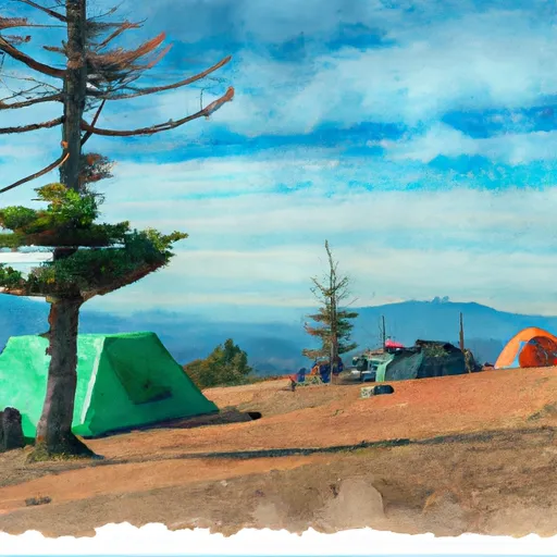 Drake Peak Lookout Recreation Rental
|
||
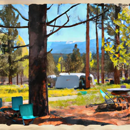 Aspen Cabin Recreation Rental
|
||
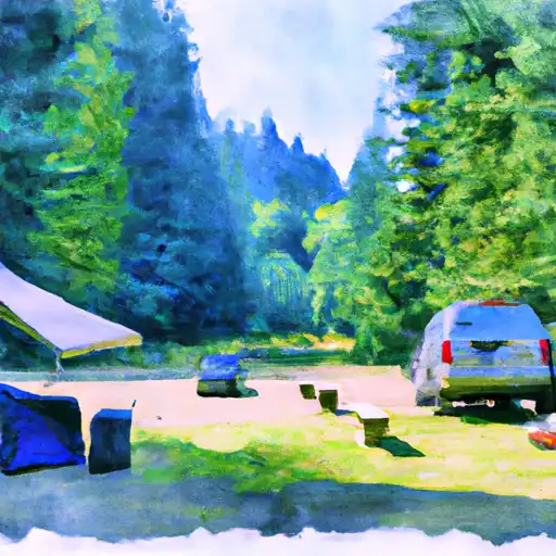 Mud Creek
|
||
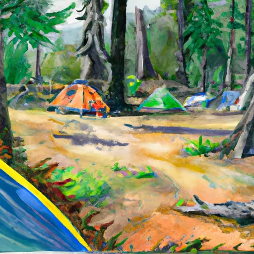 Mud Creek Forest Camp
|
||
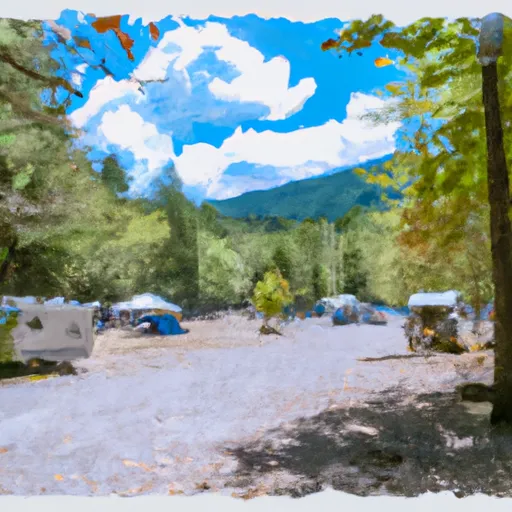 Mud Creek Campground
|
||
 Can Springs Campground
|
