2026-01-23T16:00:00-08:00
* WHAT...Poor air quality may develop. This is due to an inversion and stagnant air conditions near the surface that will continue to trap pollutants Within the valleys in Klamath and Lake County. * WHERE...The valleys of Klamath and Lake counties. * WHEN...Until 4 PM PST this afternoon. * IMPACTS...Poor air quality may cause issues for people with respiratory problems.
Summary
Standing at an elevation of 8,370 feet, it offers breathtaking vistas and challenging terrain for mountaineers. Spanning an impressive size, the mountain encompasses an area of rugged beauty, attracting outdoor enthusiasts from far and wide.
During the winter season, Gearhart Mountain is usually blanketed in a thick layer of snow, with snowpack depths ranging from 4 to 10 feet. This makes it an ideal destination for winter sports such as skiing and snowshoeing. The mountain's high elevation and favorable snow conditions create an exciting playground for snow enthusiasts.
Several creeks and rivers benefit from the runoff originating from the melting snow on Gearhart Mountain. These water sources contribute to the overall beauty and ecological importance of the surrounding area. Some notable examples include the Gearhart Creek and the Chewaucan River, providing a vital water supply for both wildlife and nearby communities.
The name "Gearhart Mountain" originates from a historical figure named Levi M. Gearhart, who was a local pioneer and early settler in the region. While there are no known legends or lore specifically associated with this mountain, its rich history and stunning natural features make it an enticing destination for both mountaineers and nature lovers alike. With its impressive elevation, snowpack range, and significant impact on local water sources, Gearhart Mountain is undeniably a noteworthy landmark in the Intermountain West.
Hourly Weather Forecast
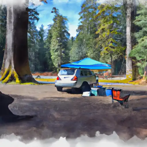
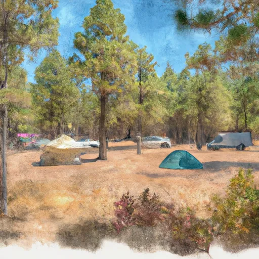
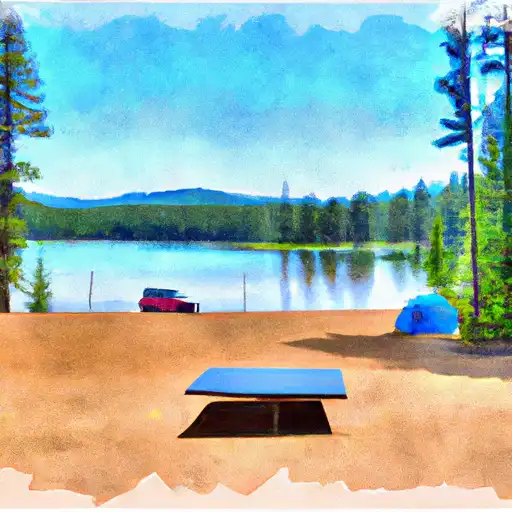
Area Campgrounds
| Location | Reservations | Toilets |
|---|---|---|
 Lee Thomas
|
||
 Deadhorse Lake
|
||
 Sandhill Crossing
|
||
 Campbell Lake
|
||
 Happy Camp
|
||
 Dairy Point
|
