2026-01-26T11:00:00-07:00
* WHAT...Dangerously cold wind chills as low as 4 below expected. * WHERE...Portions of southeast New Mexico and southwest and western Texas. * WHEN...From 11 PM MST /midnight CST/ this evening to 11 AM MST /noon CST/ Monday. * IMPACTS...Frostbite and hypothermia will occur if unprotected skin is exposed to these temperatures. An extended period of freezing temperatures could cause ruptured water pipes.
Summary
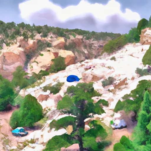
It is part of the Guadalupe Mountains National Park, a renowned destination for outdoor enthusiasts and avid mountaineers. This iconic summit offers breathtaking panoramic views of the surrounding Chihuahuan Desert, making it a popular attraction for hikers and nature lovers.
During the winter season, Guadalupe Peak experiences varying snowpack levels, ranging from light to moderate accumulation. The mountain's elevation and exposure to cold air masses contribute to occasional winter snowfall that can transform the rugged landscape into a winter wonderland. It is advisable for hikers to check weather conditions and pack appropriate gear when attempting the climb during this time.
Surrounded by the diverse ecosystem of the national park, Guadalupe Peak also serves as a water source for several creeks and rivers. These include the McKittrick, Pine Springs, and Frijole Creeks, which receive runoff from the mountain, sustaining the flora and fauna in the area.
The name "Guadalupe" originates from Spanish explorers who named it after Nuestra Señora de Guadalupe (Our Lady of Guadalupe), the patron saint of Mexico. The mountain holds a rich historical significance as it was a prominent landmark along the Butterfield Overland Mail route during the mid-1800s. Moreover, the region is steeped in Native American folklore, with legends of spirits and ancient rituals adding a mystical allure to the mountain.
In conclusion, Guadalupe Peak stands as a majestic landmark in the Intermountain West mountain range, offering adventure seekers an opportunity to witness the beauty of Texas from its highest point. With its elevation, snowpack potential, and role in the surrounding ecosystem, this mountain provides a challenging and rewarding experience for mountaineers, all while embracing its historical and cultural significance.

 Guadalupe Peak Campground
 Shumyard Canyon Backcountry Campground
 Shumard Campground
 Pine Springs - Guadalupe Mountains National Park
 Pine Top Campground
 Pine Top Backcountry Campground