Summary
Standing tall, it reaches an elevation of approximately 7,111 feet (2,167 meters). This majestic mountain is a popular destination among mountaineers and outdoor enthusiasts, offering breathtaking panoramic views of the surrounding valleys and peaks.
During the winter season, Red Mountain receives a significant amount of snowfall, contributing to a substantial snowpack. The snowpack range varies each year, but on average, it can reach depths of several feet, making it an ideal location for winter sports such as skiing and snowboarding. This abundant snowpack also contributes to the formation of beautiful snowfields and glaciers on the mountain's slopes.
Red Mountain is known for its pristine creeks and rivers that receive runoff from the melting snowfields. These water sources provide a vital supply for nearby communities and wildlife habitats. One notable creek that benefits from the mountain's runoff is Silver Creek, which flows through the lower valleys, enriching the surrounding ecosystem with its clear waters.
Regarding the name, Red Mountain derives its title from the reddish hue observed on its rocky slopes during certain times of the day, especially at sunrise and sunset. This natural phenomenon has captivated the imagination of locals and visitors alike, inspiring various legends and lore associated with the mountain. Its rich history and stunning natural beauty make Red Mountain a must-visit destination for those seeking adventure and awe-inspiring landscapes in the Pacific Ranges.

 Denny Creek
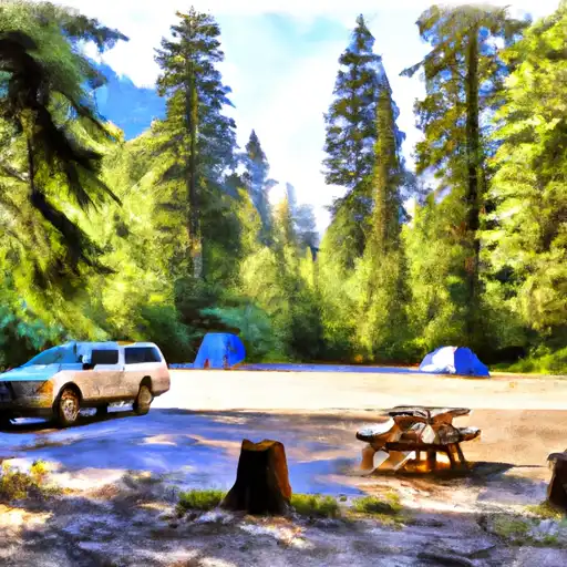
 Denny Creek Campground
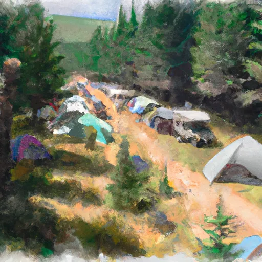
 Hardscrabble Horse Camp
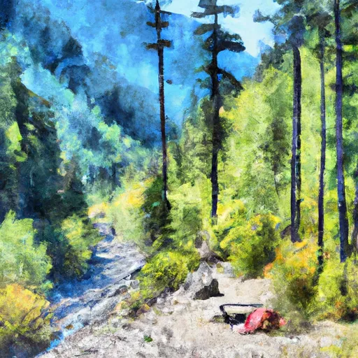
 Lower Tuscohatchie Lake Backcountry Camping
 Middle Fork Backcountry Camping
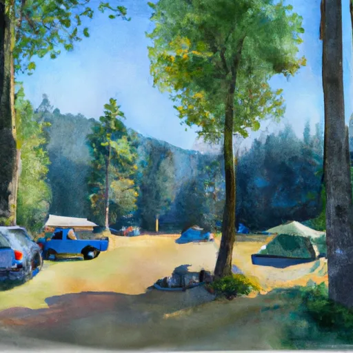
 Cold Creek Campground