Summary
With an elevation of approximately 9,255 feet, it offers breathtaking views of the surrounding landscapes. This mountain covers a significant area, providing ample opportunities for outdoor enthusiasts to explore its diverse terrain.
During the winter season, Sacramento Peak experiences a varied snowpack range. The snow accumulation can range from a few inches to several feet, depending on the specific year and weather conditions. This makes it an ideal destination for winter sports such as skiing, snowboarding, and snowshoeing.
The mountain is also known for its association with several creeks and rivers that receive runoff from its slopes. These water sources provide essential freshwater supply to the surrounding region, supporting diverse ecosystems and serving as a valuable resource for nearby communities.
Regarding its name, Sacramento Peak is believed to have been named after the Sacramento Mountains in New Mexico, which were named by the Spanish explorer Francisco Vázquez de Coronado in the 16th century. The name "Sacramento" is derived from the Spanish word for "sacrament" or "eucharist," referring to the Christian sacrament of Holy Communion. As for legends or lore associated with Sacramento Peak, there is limited information available. However, the mountain's rich history and natural beauty make it a fascinating destination for both mountaineers and nature enthusiasts alike.
Weather Forecast
Regional Streamflow Levels
12
Cubic Feet Per Second
0
Cubic Feet Per Second
4
Cubic Feet Per Second
12
Cubic Feet Per Second
Area Campgrounds
| Location | Reservations | Toilets |
|---|---|---|
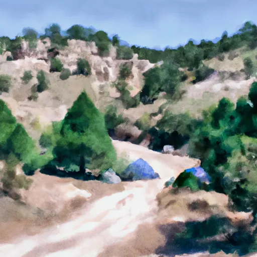 Bluff Springs
|
||
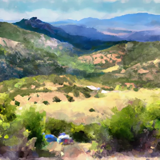 Alamo Peak Road
|
||
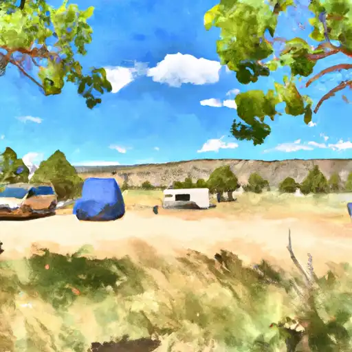 Oliver Lee State Park
|
||
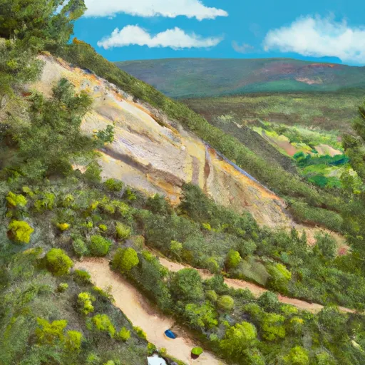 Upper Karr Canyon
|
||
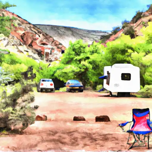 Lower Karr Canyon
|
||
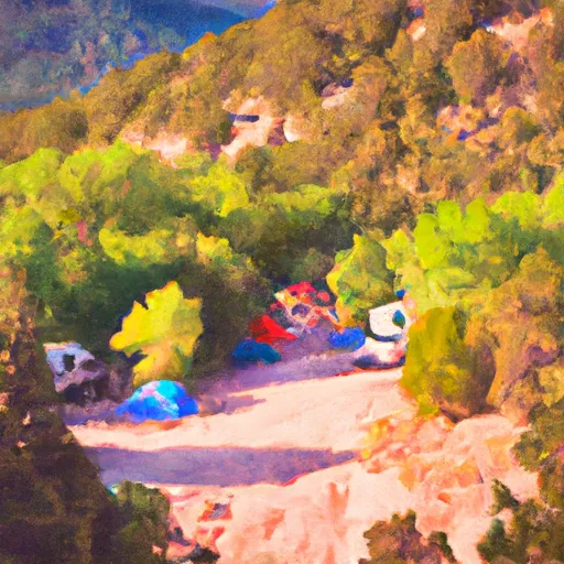 Lower Karr Canyon Campground
|
