2026-01-25T05:00:00-07:00
* WHAT...Snow expected above 7000 feet. The more persistent and heaviest snowfall is expected on Saturday. Total snow accumulations between 4 to 10 inches. * WHERE...White Mountains. * WHEN...From 5 PM this afternoon to 5 AM MST Sunday. * IMPACTS...Roads, and especially bridges and overpasses, will likely become slick and hazardous. Travel is not recommended as periods of snowfall and low visibility will create dangerous driving conditions. * ADDITIONAL DETAILS... Forecast snowfall amounts from 5 PM MST Today to 5 AM MST Sunday... Alpine: 2 to 4" Pinetop-Lakeside: 1 to 2"
Summary
With its towering elevation and expansive size, it attracts mountaineering enthusiasts from far and wide. Rising majestically, Sunrise Peak reaches an impressive altitude of [insert elevation] feet, providing climbers with a challenging and rewarding ascent.
During the winter season, the snowpack on Sunrise Peak varies greatly. The range in snow depth can be attributed to the mountain's exposure to different weather patterns and prevailing winds. It is essential for mountaineers to check snowpack conditions before attempting to climb, as avalanche hazards may arise during periods of heavy snowfall.
Situated in the Intermountain West, Sunrise Peak serves as a vital water source for creeks and rivers in the surrounding area. The mountain's snowmelt feeds into several waterways, including [insert specific creeks/rivers], ensuring a consistent flow of freshwater throughout the year.
Delving into the history of the name, Sunrise Peak has a rich heritage tied to the indigenous peoples who have inhabited the region for centuries. While specific lore or legends associated with the mountain may vary, it is often regarded as a place of spiritual significance and revered as a symbol of strength and resilience. Exploring the various narratives surrounding Sunrise Peak adds an enchanting layer to the mountaineering experience.
As with any mountain-related information, it is crucial to cross-reference multiple independent sources to ensure accuracy and up-to-date details.
Hourly Weather Forecast
Regional Streamflow Levels
29
Cubic Feet Per Second
70
Cubic Feet Per Second
3
Cubic Feet Per Second
116
Cubic Feet Per Second
Area Campgrounds
| Location | Reservations | Toilets |
|---|---|---|
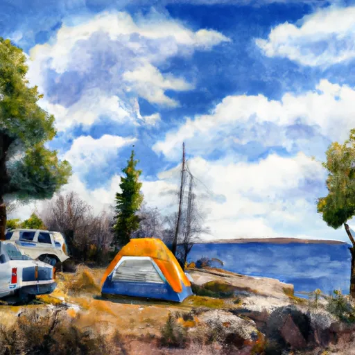 Sunrise Lake
|
||
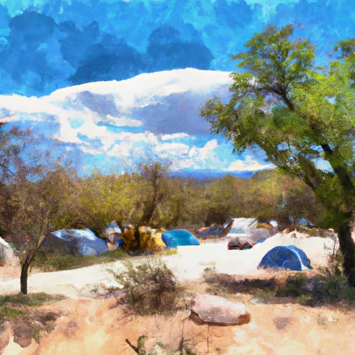 Winn Group Campground
|
||
 Winn
Winn
|
||
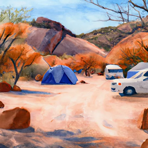 Winn Campground
|
||
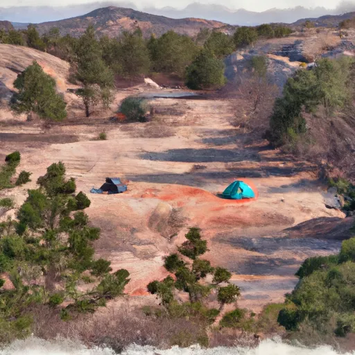 Gabaldon
|
||
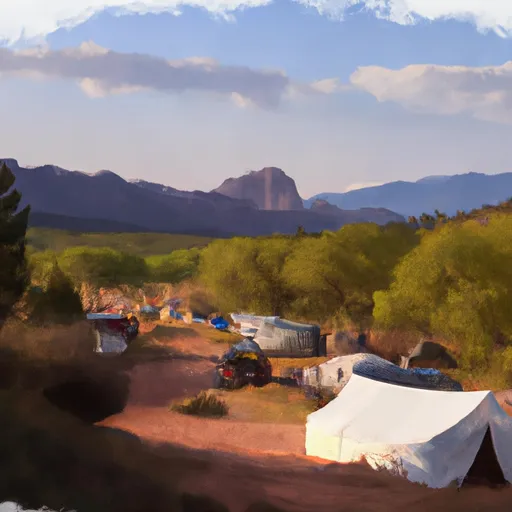 Gabaldon Horse Camp
|

 Crescent Lake Point Area Fishing Site
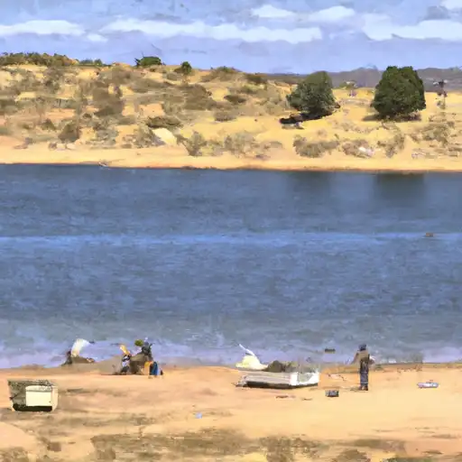 Bunch Reservoir
 River Reservoir South Fishing Site
 Big Lake Dam Parking Fishing Site