Summary
Standing tall at an elevation of [elevation], it offers breathtaking views of the surrounding landscape. This mountain is known for its rugged terrain and challenging hiking trails, attracting both experienced mountaineers and adventure seekers.
During the winter season, Vinegar Hill receives a substantial snowpack, with depths ranging from [snowpack range]. This makes it a popular destination for winter sports enthusiasts, such as backcountry skiers and snowshoers. The mountain's snow-covered slopes provide ample opportunities for thrilling descents and peaceful winter hikes.
Several creeks and rivers benefit from the runoff originating from Vinegar Hill. [Specific creek/river names] are fed by the melting snow, which in turn nourishes the surrounding vegetation and contributes to the region's water supply. These water sources also create picturesque landscapes, with flowing streams and lush greenery adding to the mountain's natural beauty.
Vinegar Hill's name has an interesting historical background. [Discuss history/origin of the name]. Additionally, the mountain is said to be steeped in local lore and legends, captivating the imaginations of those who visit. [Mention any notable legends or stories associated with the mountain].
In conclusion, Vinegar Hill in the Intermountain West mountain range is a majestic peak with a rich history and fascinating legends. Its impressive elevation, substantial snowpack range during winter, and contribution to nearby creeks and rivers make it an enticing destination for mountaineers and nature enthusiasts alike.
Weather Forecast
Regional Streamflow Levels
28
Cubic Feet Per Second
244
Cubic Feet Per Second
1
Cubic Feet Per Second
283
Cubic Feet Per Second
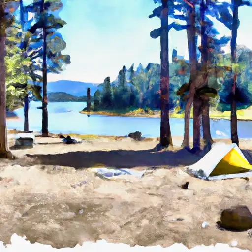
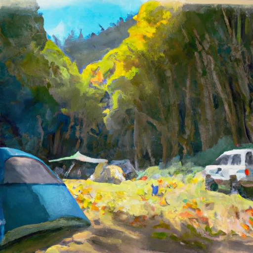
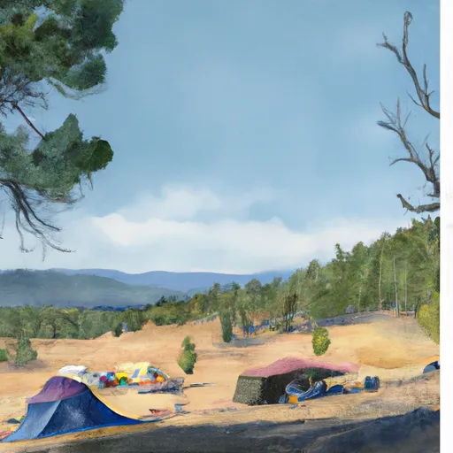
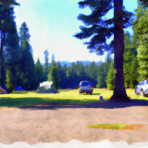
Area Campgrounds
| Location | Reservations | Toilets |
|---|---|---|
 Olive Lake Campground
|
||
 Olive Lake
|
||
 Middle Fork Campground
|
||
 Deerhorn Campground
|
||
 Deerhorn Camp
|
||
 Deerhorn Forest Camp
|
