2026-01-25T08:00:00-07:00
* WHAT...Heavy mixed precipitation expected. Total snow accumulations between 4 and 10 inches across much of eastern New Mexico with higher amounts of 10 to 16 inches above 9,000 feet. * WHERE...Portions of central, east central, north central, and northeast New Mexico. * WHEN...From 11 AM this morning to 8 AM MST Sunday. * IMPACTS...Travel will become very difficult to impossible for an extended period of time, most notably along I-40 from Tijeras Canyon to the Texas border. The weight of accumulating snow will stress the power grid, potentially creating outages. An extended period of cold temperatures will increase the risk of frostbite and hypothermia. * ADDITIONAL DETAILS...Bitterly cold temperatures will also accompany this winter storm, with the coldest temperatures in the eastern plains of New Mexico. Temperatures will be coldest Sunday and Monday mornings when much of the eastern half of New Mexico will be in the single digits with wind chills below zero.
Summary
It is part of the Sangre de Cristo Mountain range and is situated in the Wheeler Peak Wilderness within the Carson National Forest. Wheeler Peak boasts a prominent prominence of 3,409 feet (1,039 meters), making it a prominent landmark in the region.
During the winter season, Wheeler Peak experiences a significant amount of snowfall, with snowpack ranging from 50 to 150 inches (127 to 381 cm). This snowpack attracts mountaineers and winter sports enthusiasts from around the world. The mountain's snowpack also contributes to the runoff into nearby creeks and rivers, such as the Rio Hondo and the Rio Grande, providing water for surrounding areas.
The peak is named after George Montague Wheeler, a renowned explorer and surveyor who led several expeditions in the late 19th century. Wheeler Peak holds a rich history and is surrounded by fascinating legends and lore. One such legend tells the story of a hidden treasure buried somewhere on the mountain by Spanish conquistadors. Although many have searched for the treasure, it remains undiscovered. The allure of Wheeler Peak lies not only in its natural beauty and challenging terrain but also in the intriguing tales that have been woven into its history.
Hourly Weather Forecast
Regional Streamflow Levels
14
Cubic Feet Per Second
12
Cubic Feet Per Second
0
Cubic Feet Per Second
9
Cubic Feet Per Second
Area Campgrounds
| Location | Reservations | Toilets |
|---|---|---|
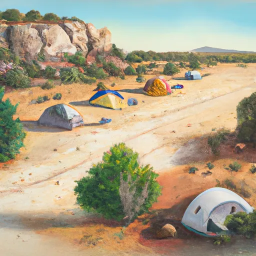 Twining
|
||
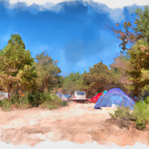 Twining Campground
|
||
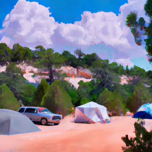 Italianos
|
||
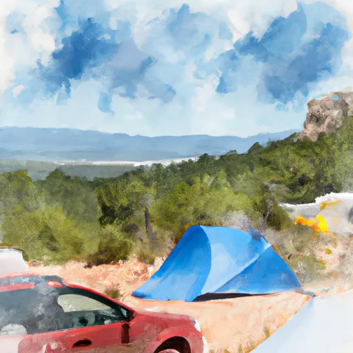 Cuchilla Campground
|
||
 Cuchillo Del Medio Campground
|
||
 Cuchillo de Medio
|
