Summary
Rising to an impressive elevation of approximately 2,785 meters (9,140 feet), it is one of the notable peaks in the area. With its distinct shape and size, Mount Bretherton offers a challenging ascent for mountaineers and attracts outdoor enthusiasts from all over.
During the winter season, Mount Bretherton receives a substantial amount of snowfall, contributing to a significant snowpack. The snowpack range during this time can vary greatly depending on weather conditions, but it typically accumulates several meters deep. This deep snowpack makes the mountain ideal for winter sports such as skiing and snowboarding, attracting adventure seekers in search of thrilling experiences.
Several creeks and rivers benefit from the runoff of Mount Bretherton. These include the nearby Kennedy Creek and the Big Quilcene River. These water bodies receive fresh meltwater from the mountain, contributing to their flow and supporting the local ecosystem. The pristine waters of these creeks and rivers provide habitat for various fish species and create opportunities for recreational activities like fishing and kayaking.
The name "Bretherton" is believed to have been given to the mountain in honor of an early settler or explorer in the region. Unfortunately, there is limited information available about the specific history and lore surrounding Mount Bretherton. However, the mountain's rich natural beauty and challenging terrain continue to captivate mountaineers and adventurers alike, ensuring its significance in the Pacific Ranges.
°F
°F
mph
Wind
%
Humidity
15-Day Weather Outlook
5-Day Hourly Forecast Detail
Regional Streamflow Levels
17
Cubic Feet Per Second
133
Cubic Feet Per Second
1,890
Cubic Feet Per Second
1,500
Cubic Feet Per Second
Area Campgrounds
| Location | Reservations | Toilets |
|---|---|---|
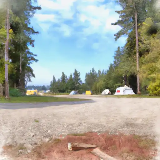
 Lena Lake Campground
|
||
 Lena Creek
|
||
 Lena Creek Campground
|
||
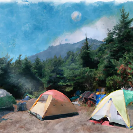 Brothers Base Camp
|
||
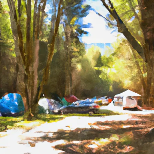 Hamma Hamma Campground
|
||
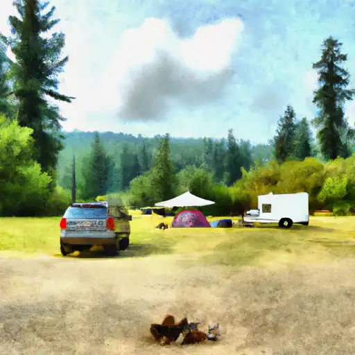 Hamma Hamma
|
