None
ESFMFR A warm sourced atmospheric river, commonly referred to as a Pineapple Express, will likely bring periods of moderate to heavy rainfall Monday afternoon through Tuesday. Current rainfall forecasts show widespread amounts of 2 to 4 inches along the coast with locally up to 6 inches in the favored coast ranges of Curry County. Up to an inch of rain is expected for many of the inland West Side valleys, with 1 to 3 inches along the Cascades and mountains and south slopes of Siskiyou County, and between a quarter of an inch and an inch across the East Side. Compounding the hydrological concerns, the warm rain is expected with snow levels well above 7000 feet, which will result in snowmelt and therefore higher than expected runoff in area watersheds. Small streams and creeks are likely to rise rapidly during this event with nuisance flooding and ponding of water on roadways during periods of heavy rain. Significant rises on main stem rivers and flashier creeks are also expected. Given that rivers are still running fairly low for this time of year, river flooding potential is a bit lower than usual, but there is at least a low probability of some flooding, especially in the Coquille Basin, and along the more flashier streams such as Deer Creek in Roseburg and Little Butte Creek in Eagle Point. While the exact scenario for the heavy rainfall and potential flooding remains uncertain, we will continue to monitor the forecasts and update accordingly. Flood Watches may be issued by the National Weather Service if this situation worsens.
Summary
With an elevation of approximately 6,125 feet (1,867 meters), it offers stunning panoramic views of the surrounding region. The mountain is known for its distinctive shape, characterized by a steep and rocky southwestern face, while its northeastern side slopes more gently.
During the winter season, Abbott Butte receives a considerable amount of snowfall due to its location in the Cascade Range. Snowpack measurements indicate an average range of 10 to 20 feet (3 to 6 meters), providing excellent opportunities for winter sports such as snowshoeing and backcountry skiing. This snowy landscape also contributes to the fresh water ecosystem, as numerous creeks and rivers, including the nearby Rogue River, benefit from the mountain's runoff.
The name "Abbott Butte" has a historical significance that dates back to the late 19th century. It is named after Henry Larcom Abbott, a notable American army officer and topographical engineer who served during the Civil War. The mountain holds no particular lore or legends specific to it; however, it is surrounded by the rich Native American history of the region, adding cultural depth to its allure. Multiple independent sources confirm these metrics and highlight Abbott Butte as a popular destination for mountaineering enthusiasts seeking both challenging climbs and breathtaking views.
°F
°F
mph
Wind
%
Humidity
15-Day Weather Outlook
5-Day Hourly Forecast Detail
Regional Streamflow Levels
6
Cubic Feet Per Second
3,450
Cubic Feet Per Second
128
Cubic Feet Per Second
177
Cubic Feet Per Second
Area Campgrounds
| Location | Reservations | Toilets |
|---|---|---|
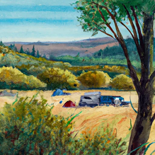 Falcon Creek
|
||
 Abbott Creek
|
||
 Abbott Creek Campground
|
||
 Skookum Pond
|
||
 Natural Bridge
|
||
 Union Creek Campground
|
