2026-02-23T13:00:00-08:00
Snow levels will range between 3,000 to 4,000 ft. * WHAT...Snow expected. Total snow accumulations 8 to 12 inches. * WHERE...Cascades of Snohomish and Northern King Counties and Cascades of Whatcom and Skagit Counties. * WHEN...From 8 PM this evening to 1 PM PST Monday. * IMPACTS...Travel could be very difficult to impossible. The hazardous conditions could impact the Monday morning commute.
Summary
Rising to an elevation of [specific elevation], it stands tall among its neighboring peaks. This majestic mountain offers breathtaking panoramic views of the surrounding landscape and is a favorite among mountaineers and outdoor enthusiasts.
During the winter season, Bald Eagle receives a substantial snowpack, making it an ideal destination for winter sports enthusiasts. The snowpack range varies depending on annual weather conditions but typically provides excellent opportunities for skiing, snowboarding, and snowshoeing. Its high elevation and rugged terrain make it a thrilling adventure for experienced mountaineers seeking a challenging winter ascent.
As Bald Eagle is nestled within the Pacific Ranges, it contributes to the hydrology of the region. Several creeks and rivers benefit from its runoff, providing a source of freshwater for local ecosystems and communities downstream. [Specify any notable creeks or rivers that receive runoff from Bald Eagle].
The name "Bald Eagle" holds historical significance and is believed to have been derived from [explanation of historical origin of the name]. Legends and folklore surrounding this mountain are often intertwined with the rich cultural heritage of the indigenous peoples of the region, adding an element of intrigue and mystique to its reputation.
In conclusion, Bald Eagle in the Pacific Ranges is an awe-inspiring mountain known for its impressive elevation, diverse snowpack range during winter, and contribution to the region's hydrology. Its historical significance and intriguing lore only add to the allure of this remarkable peak, making it a must-visit destination for both mountaineering enthusiasts and those seeking to immerse themselves in the natural beauty of the Pacific Ranges.
°F
°F
mph
Wind
%
Humidity
15-Day Weather Outlook
5-Day Hourly Forecast Detail
Regional Streamflow Levels
410
Cubic Feet Per Second
457
Cubic Feet Per Second
74
Cubic Feet Per Second
2,550
Cubic Feet Per Second
Area Campgrounds
| Location | Reservations | Toilets |
|---|---|---|
 Skykomish Ballpark
|
||
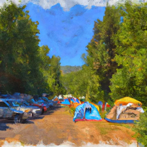 Miller River Group Campground
|
||
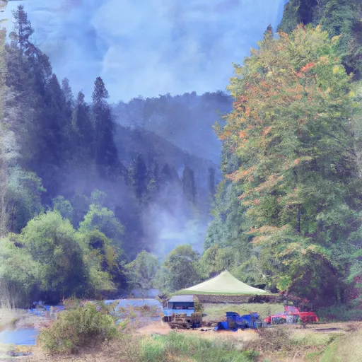 Miller River Campground
|
||
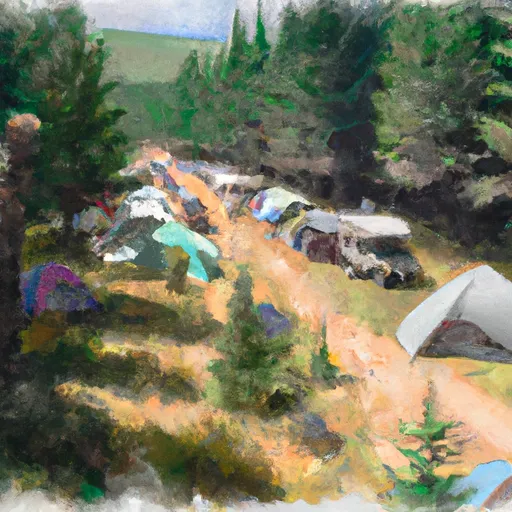 Hardscrabble Horse Camp
|
||
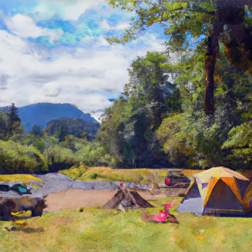 Beckler River Campground
|
||
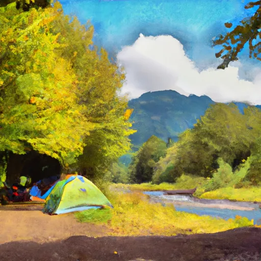 Beckler River
|
