Summary
It stands tall at an elevation of approximately 13,720 feet (4,182 meters). This majestic mountain is renowned for its striking beauty and challenging climbing routes, attracting mountaineers from around the world.
During the winter season, Bear Creek Spire receives substantial snowfall, contributing to the region's abundant snowpack. Snow depths in this area typically range from several feet to over ten feet, creating ideal conditions for winter sports enthusiasts. The mountain's snowpack slowly melts during spring, supplying various creeks and rivers with vital runoff. Among these waterways are Bear Creek and Rock Creek, which are fed by the pristine meltwater from the mountain's snowpack.
The name "Bear Creek Spire" carries a historical significance as it reflects the rugged and wild nature of the mountain. The origin of the name can be attributed to the abundant wildlife found in the area, including black bears. Interestingly, there are no significant legends or lore specifically associated with Bear Creek Spire. However, the mountain's challenging terrain and awe-inspiring beauty continue to captivate the imagination of climbers and adventurers, leaving a lasting impression on all who venture into its majestic heights.
°F
°F
mph
Wind
%
Humidity

 Mosquito Flat Backpacker's Campground
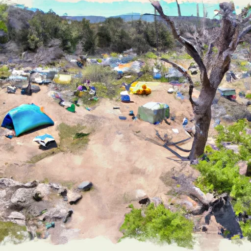 Mosquito Flat Backpacker Campground
 Mosquito Flat
 Rock Creek Lake Campground
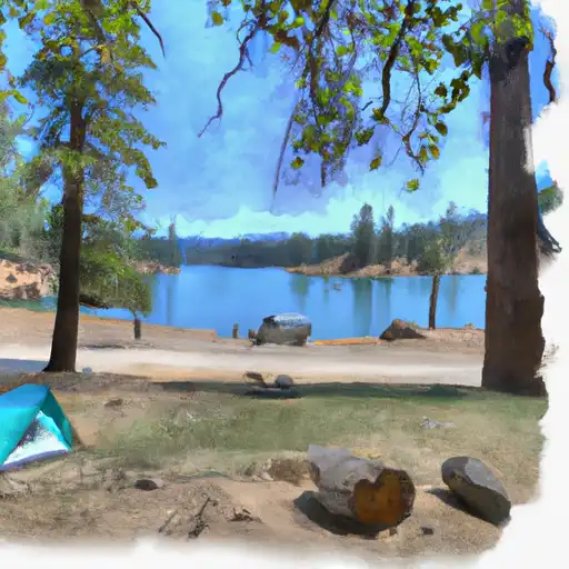 Rock Creek Lake
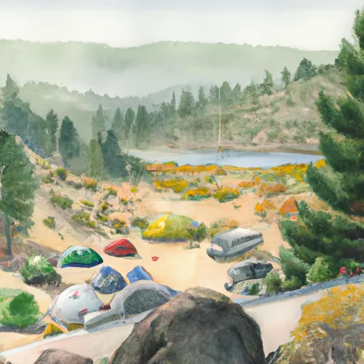 Rock Creek Lake Group Campground
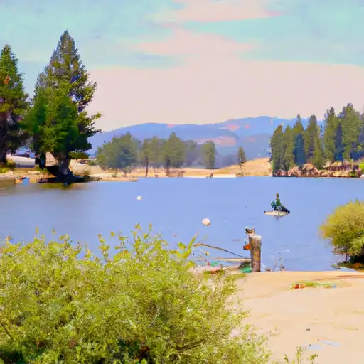 Little French Lake
 Rock Creek Lakes
 Horton Lake
 Apollo Lake
 Desolation Lake