2026-02-23T13:00:00-08:00
Snow levels will range between 3,000 to 4,000 ft. * WHAT...Snow expected. Total snow accumulations 8 to 12 inches. * WHERE...Cascades of Snohomish and Northern King Counties and Cascades of Whatcom and Skagit Counties. * WHEN...From 8 PM this evening to 1 PM PST Monday. * IMPACTS...Travel could be very difficult to impossible. The hazardous conditions could impact the Monday morning commute.
Summary
With an elevation of approximately 5,090 feet (1,550 meters), it offers breathtaking views of the surrounding wilderness.
During the winter season, Beckler Mountain experiences a diverse snowpack range. The average snowfall in this region varies between 100 and 150 inches, making it a popular spot for winter sports enthusiasts. The snowpack depth can reach several feet, providing excellent opportunities for snowshoeing, skiing, and snowboarding.
The mountain is a significant source of runoff for several creeks and rivers in the area. Beckler River, in particular, is fed by the melting snow from the mountain's slopes. This river not only enhances the natural beauty of the surroundings but also supports the local ecosystem by providing a habitat for various fish species.
Regarding the history and name of Beckler Mountain, the exact origins are unclear. It is believed to have been named after a settler or early explorer in the region, but the specific details remain a mystery. Nevertheless, the mountain holds a certain allure and has become a part of local lore and legends, adding to its appeal for adventurers and outdoor enthusiasts alike.
In summary, Beckler Mountain in the Pacific Ranges mountain range offers a thrilling mountaineering experience with its elevation, diverse snowpack range, and beautiful surrounding creeks and rivers. Its historical name and intriguing legends contribute to the mountain's allure, making it an enticing destination for those seeking outdoor exploration.
°F
°F
mph
Wind
%
Humidity
15-Day Weather Outlook
5-Day Hourly Forecast Detail
Regional Streamflow Levels
394
Cubic Feet Per Second
74
Cubic Feet Per Second
149
Cubic Feet Per Second
410
Cubic Feet Per Second
Area Campgrounds
| Location | Reservations | Toilets |
|---|---|---|
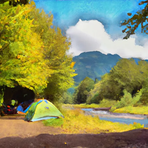 Beckler River
|
||
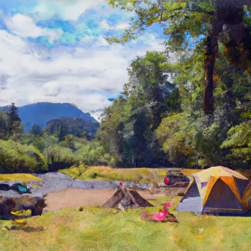 Beckler River Campground
|
||
 Skykomish Ballpark
|
||
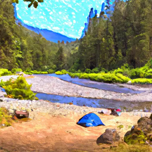 Money Creek
|
||
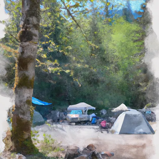 Money Creek Campground
|
||
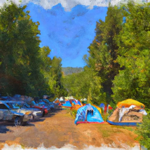 Miller River Group Campground
|
