2026-02-23T13:00:00-08:00
* WHAT...Snow expected. Total snow accumulations between 2 and 8 inches, including a 40 to 60% chance of 1 inch per hour snowfall rates. * WHERE...Holden Village, Stehekin, and Stevens Pass. * WHEN...From 10 PM this evening to 1 PM PST Monday. * IMPACTS...Winter travel conditions expected, including the Monday morning commute. * ADDITIONAL DETAILS...The highest probabilities for snowfall rates of 1"/hour will be from 2AM and 9AM Monday.
Summary
With an elevation of approximately 9,513 feet (2,900 meters), it stands as one of the tallest peaks in the region. Its imposing size and rugged terrain make it a challenging yet rewarding destination for mountaineers and adventure seekers.
During the winter season, Bonanza Peak experiences significant snowfall, contributing to the formation of a substantial snowpack. The snowpack range varies each year depending on weather conditions, but it generally accumulates from late fall to early spring. This makes it an ideal location for winter sports enthusiasts, such as backcountry skiers and snowboarders, seeking thrilling descents and untouched powder.
Bonanza Peak is surrounded by pristine wilderness, and its melting snow contributes to the formation of several creeks and rivers in the area. While specific creek names may vary, the mountain's runoff ultimately feeds into larger water systems within the region. These water sources are vital for the local ecosystem, sustaining diverse wildlife and providing fresh water for surrounding communities.
Regarding the history and lore of the name Bonanza Peak, further research is required to provide accurate information. It is always advisable to consult multiple independent sources to ensure accuracy and gain a comprehensive understanding of the mountain's background and any associated legends or folklore.
°F
°F
mph
Wind
%
Humidity
15-Day Weather Outlook
5-Day Hourly Forecast Detail
Regional Streamflow Levels
71
Cubic Feet Per Second
379
Cubic Feet Per Second
2,020
Cubic Feet Per Second
67
Cubic Feet Per Second
Area Campgrounds
| Location | Reservations | Toilets |
|---|---|---|
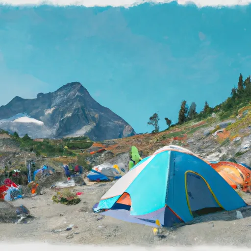 Cloudy Pass Camp
|
||
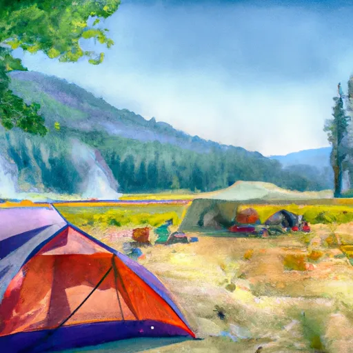 Lyman Lake Camp
|
||
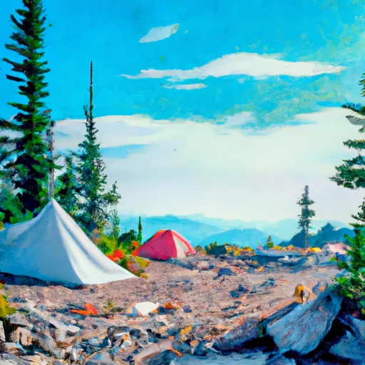 Upper Lyman Lakes
|
||
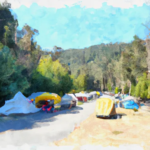 Holden Ballpark Campground
|
||
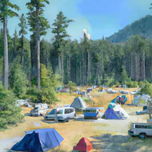 Lady camp
|
||
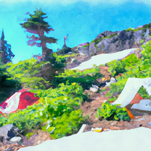 Spider Meadows
|
