Summary
Standing at an elevation of 9,175 feet, it offers a challenging and rewarding mountaineering experience. The mountain's distinct jagged peak and exposed volcanic core make it a prominent feature in the Central Oregon landscape.
During the winter season, Broken Top receives a substantial snowpack, which attracts backcountry skiers and snowboarders. The snowpack range varies from year to year, but on average, it accumulates between 15 and 30 feet of snow, providing ample opportunities for winter sports enthusiasts. The mountain's proximity to the Cascade Range ensures a reliable snowpack, making it a popular destination for winter adventurers.
Several creeks and rivers benefit from the runoff of Broken Top's melting snow. Among these are Deschutes River, Metolius River, and Tumalo Creek, which are all fed by the mountain's pristine waters. These waterways not only provide scenic beauty but also offer recreational activities such as fishing and rafting.
As for the name's history, Broken Top obtained its distinctive moniker due to the dramatic shape of its summit, which appears to have a broken-off peak. The mountain holds significance in Native American folklore, with stories of its creation and mythical origins being passed down through generations. Exploring these legends adds an intriguing cultural dimension to the mountaineering experience on Broken Top.
In conclusion, Broken Top in the Pacific Ranges mountain range is a captivating and challenging destination for mountaineering enthusiasts. With its impressive elevation, substantial winter snowpack, and connections to significant waterways, this mountain offers a unique and rewarding outdoor experience.
°F
°F
mph
Wind
%
Humidity

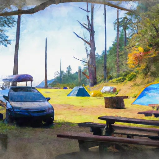 Driftwood Campground
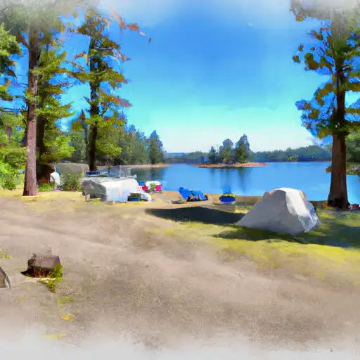 Three Creek Lake
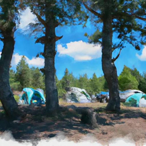 Three Creek Lake Campground
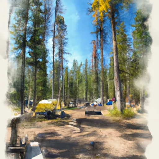 Todd Lake Campground
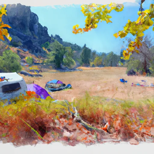 Three Creek Meadow Campground
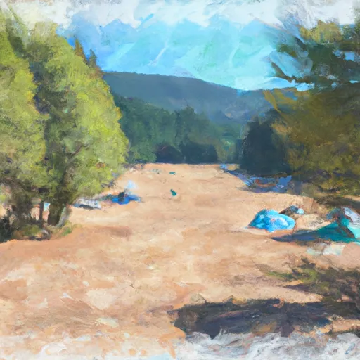 Three Creek Meadow Horse Camp