2026-02-23T13:00:00-08:00
Snow levels will range between 3,000 to 4,000 ft. * WHAT...Snow expected. Total snow accumulations 8 to 12 inches. * WHERE...Cascades of Snohomish and Northern King Counties and Cascades of Whatcom and Skagit Counties. * WHEN...From 8 PM this evening to 1 PM PST Monday. * IMPACTS...Travel could be very difficult to impossible. The hazardous conditions could impact the Monday morning commute.
Summary
Standing tall amidst the rugged landscape, this mountain reaches a majestic height of [insert accurate elevation]. With its steep slopes and jagged peaks, it poses a challenging yet exhilarating ascent for mountaineers and adventurers alike.
During the winter season, Crooked Thumb experiences a diverse snowpack range, varying based on the year's precipitation patterns. Snowfall accumulates on the mountain, creating a pristine white blanket that adds to its breathtaking beauty. This snowpack is essential for winter sports enthusiasts, providing opportunities for activities like skiing, snowboarding, and snowshoeing.
Furthermore, Crooked Thumb serves as a significant source of runoff for nearby creeks and rivers. As snow melts during the spring and summer months, it feeds these waterways, contributing to their flow and supporting the surrounding ecosystem. The mountain's runoff nourishes vegetation, sustains wildlife, and provides water for various recreational activities such as fishing or rafting.
Regarding the history of its name or any interesting lore or legends associated with Crooked Thumb, further research is required to provide accurate information. It is always advisable to consult multiple independent sources to ensure accuracy and to gain a comprehensive understanding of the mountain's significance and cultural context.
°F
°F
mph
Wind
%
Humidity
15-Day Weather Outlook
5-Day Hourly Forecast Detail
Regional Streamflow Levels
417
Cubic Feet Per Second
474
Cubic Feet Per Second
106
Cubic Feet Per Second
31
Cubic Feet Per Second
Area Campgrounds
| Location | Reservations | Toilets |
|---|---|---|
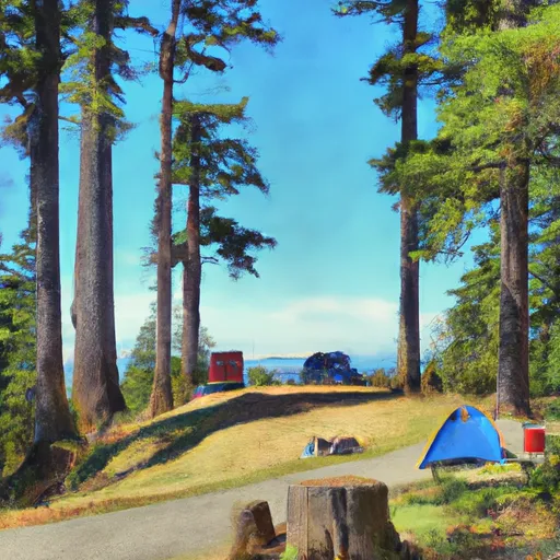 Whatcom
|
||
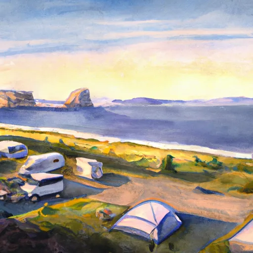 Twin Rocks
|
||
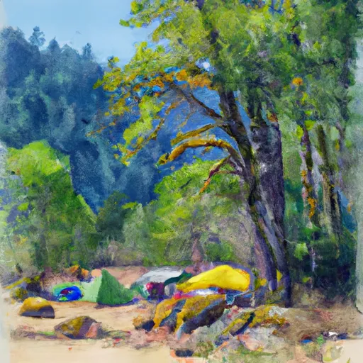 Graybeal
|
||
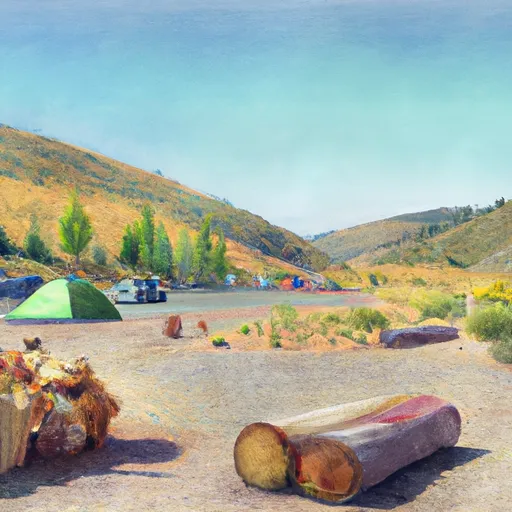 Beaver Pass
|
||
 Stillwell
|
||
 Luna
Luna
|
