2026-02-23T13:00:00-08:00
* WHAT...Snow. Additional snow accumulations up to 14 to 20 inches above 5000 ft. Accumulations of 4 to 8 inches around the Pass Levels. * WHERE...Upper Slopes of the Eastern Washington Cascades Crest. * WHEN...Until 1 PM PST Monday. * IMPACTS...Relatively warmer road surface temperatures will limit the impacts during the daytime hours as snow can melt of the most heavily traveled highways. Periods of moderate to heavy snowfall rates will create slick roads creating very difficult driving conditions at night.
Summary
With its breathtaking elevation and vast size, it offers a challenging and rewarding experience for adventurers. Rising to an impressive height, Goat Rocks reaches an elevation of [insert elevation]. Its expansive size, covering [insert size], provides ample opportunities for exploration and mountaineering endeavors.
During the winter season, Goat Rocks experiences a diverse snowpack range. This varies depending on the year and prevailing weather conditions. On average, the snowpack can accumulate to impressive depths, making it an ideal location for winter sports such as skiing and snowboarding. The varying snow conditions also attract backcountry skiers seeking thrilling descents.
The mountain's runoff feeds several creeks and rivers in the surrounding area, contributing to the region's abundant water sources. [Insert specific creeks or rivers], fed by Goat Rocks' snowmelt and precipitation, provide essential freshwater resources to the local ecosystem.
In terms of the mountain's history, Goat Rocks derives its name from the abundance of mountain goats that once populated the area. These agile animals were known for their ability to navigate the rugged terrain with ease. Additionally, the region is steeped in Native American lore and legends, which add an intriguing element to the mountain's allure.
In conclusion, Goat Rocks in the Pacific Ranges mountain range offers mountaineers a thrilling adventure with its impressive elevation and vast size. The diverse snowpack range during winter provides ample opportunities for winter sports enthusiasts, while the mountain's runoff contributes to the local water sources. With a rich history and legends surrounding its name, Goat Rocks is a must-visit destination for those seeking both natural beauty and fascinating cultural heritage.
°F
°F
mph
Wind
%
Humidity

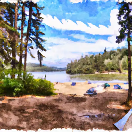 Walupt Lake
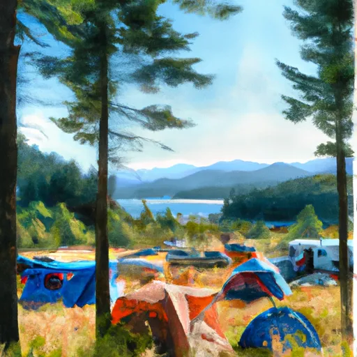 Campground: Walupt Lake
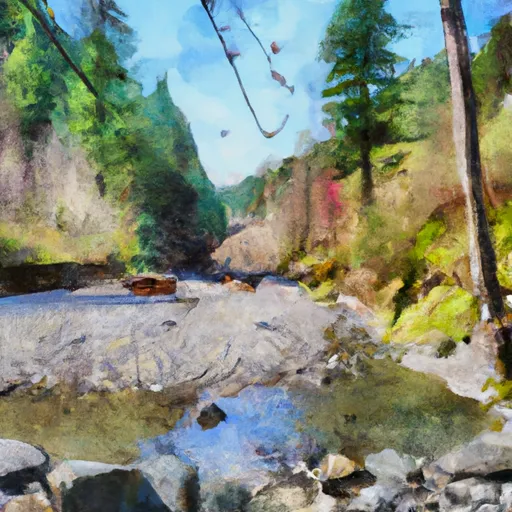 Scatter Creek - Nac Trailhead Camping
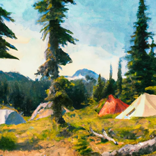 Minnie Meadows Dispersed Camping Area
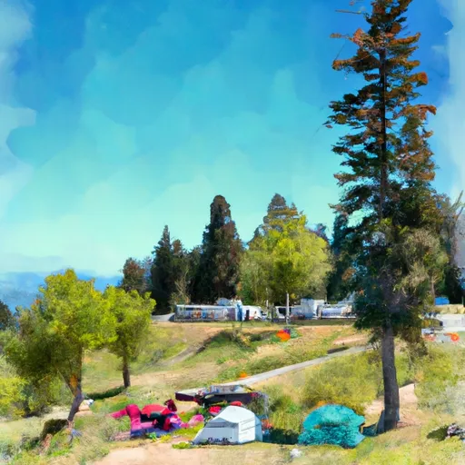 White Pass Lake (Leech Lake) Campground
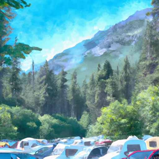 White Pass Campground