2026-02-23T13:00:00-08:00
Snow levels will range between 3,000 to 4,000 ft. * WHAT...Snow expected. Total snow accumulations 8 to 12 inches. * WHERE...Cascades of Pierce and Lewis Counties and Cascades of Southern King County. * WHEN...From 8 PM this evening to 1 PM PST Monday. * IMPACTS...Travel could be very difficult to impossible. The hazardous conditions could impact the Monday morning commute.
Summary
Rising to an elevation of approximately 5,541 feet, it offers breathtaking panoramic views of the surrounding area. The peak is known for its challenging yet rewarding mountaineering routes, attracting both experienced climbers and adventurous hikers.
During the winter season, Kendall Peak receives a substantial amount of snowfall, creating excellent conditions for winter sports enthusiasts. The snowpack range can vary greatly, but typically averages between 100 and 200 inches. This deep snow cover makes it an ideal destination for backcountry skiing, snowboarding, and snowshoeing.
Several creeks and rivers are fed by the runoff from Kendall Peak, including the picturesque Silver Creek and the North Fork of the Snoqualmie River. These waterways provide important habitat for various fish species and contribute to the overall ecological diversity of the area.
The name "Kendall Peak" originates from the early settlers of the region, possibly named after a local individual or family. While there may not be any specific legends or lore associated with this peak, its striking presence and challenging terrain have certainly captivated the imaginations of mountaineers and adventurers throughout history. As with any outdoor activity, it is important to consult multiple reliable sources and exercise caution when planning an expedition to Kendall Peak.
°F
°F
mph
Wind
%
Humidity

 Denny Creek
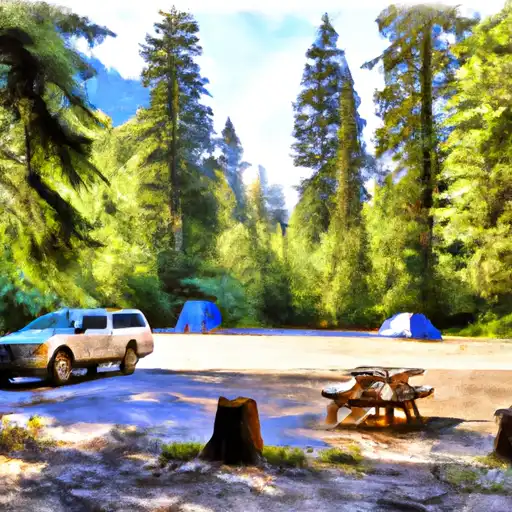
 Denny Creek Campground
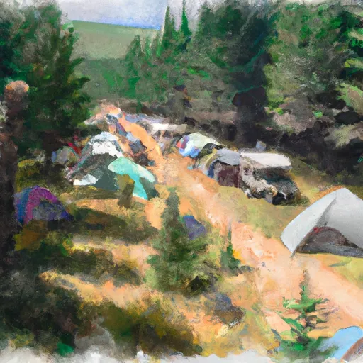
 Hardscrabble Horse Camp
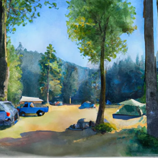
 Cold Creek Campground
 Lower Tuscohatchie Lake Backcountry Camping
 Middle Fork Backcountry Camping