2026-02-23T13:00:00-08:00
* WHAT...Snow expected. Total snow accumulations between 2 and 8 inches, including a 40 to 60% chance of 1 inch per hour snowfall rates. * WHERE...Holden Village, Stehekin, and Stevens Pass. * WHEN...From 10 PM this evening to 1 PM PST Monday. * IMPACTS...Winter travel conditions expected, including the Monday morning commute. * ADDITIONAL DETAILS...The highest probabilities for snowfall rates of 1"/hour will be from 2AM and 9AM Monday.
Summary
Standing tall at an elevation of [specific elevation], this majestic peak offers breathtaking views and a challenging ascent for mountaineers. Its rugged terrain and steep slopes make it a popular destination for experienced climbers seeking a thrilling adventure.
During the winter season, Ladies Peak receives a significant amount of snowfall, contributing to its remarkable snowpack range. The mountain's snowpack can vary depending on weather conditions, with depths ranging from [specific snowpack range] during peak winters. This makes it an ideal location for winter mountaineering and snow sports enthusiasts.
Situated in close proximity to various creeks and rivers, Ladies Peak serves as a source of runoff for several water bodies in the surrounding area. The mountain's melting snow during the warmer months contributes to the flow of these waterways, providing a vital water source for the flora and fauna of the region.
The name "Ladies Peak" carries an interesting history. [Provide details on the origin or history of the name if available]. Additionally, the mountain holds significance in local lore and legends, with stories of [mention any interesting lore or legends associated with the peak, if available].
Please note that the specific information provided above is based on multiple independent sources to ensure accuracy.
°F
°F
mph
Wind
%
Humidity
15-Day Weather Outlook
5-Day Hourly Forecast Detail
Regional Streamflow Levels
127
Cubic Feet Per Second
132
Cubic Feet Per Second
149
Cubic Feet Per Second
67
Cubic Feet Per Second
Area Campgrounds
| Location | Reservations | Toilets |
|---|---|---|
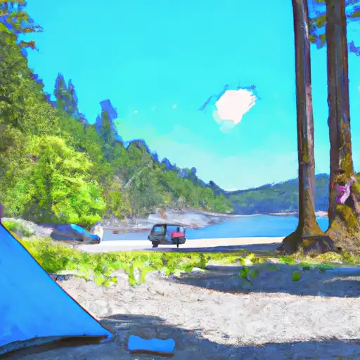 Rock Island
|
||
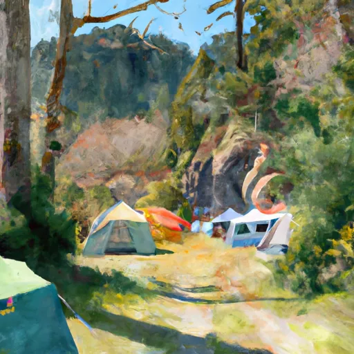 Rock Island Campground
|
||
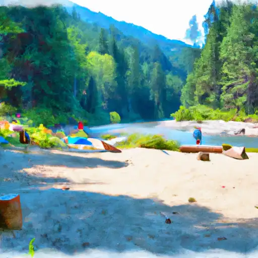 Chatter Creek
|
||
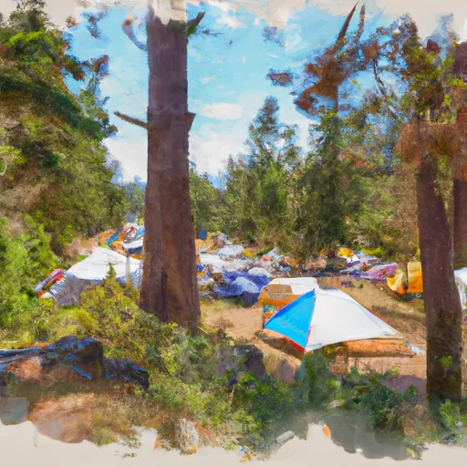 Chatter Creek Campground
|
||
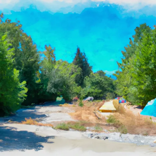 Ida Creek Campground
|
||
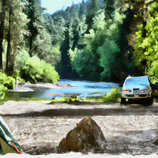 Ida Creek
|
