Summary
Standing at an elevation of 11,814 feet, this mountain offers breathtaking views and challenging terrain for mountaineers. Its size is awe-inspiring, covering an area of approximately 6 square miles.
During the winter season, Laurel Mountain experiences a significant snowpack, attracting winter sports enthusiasts. The snowpack range varies from year to year, with an average snow accumulation of around 400 inches. This makes it an ideal destination for backcountry skiing and snowboarding.
Several creeks and rivers benefit from the mountain's runoff, including Convict Creek and Laurel Lakes Creek. These water sources are vital for local ecosystems, providing clean water and supporting diverse wildlife.
The name "Laurel Mountain" has an interesting history. It is believed to have been named by the United States Geological Survey in 1907, inspired by the abundant mountain laurel shrubs found in the area. Although no specific legends or lore are linked to this mountain, its impressive stature and challenging terrain have undoubtedly sparked the imaginations of many mountaineers throughout the years.
In conclusion, Laurel Mountain in the Pacific Ranges is a majestic peak with a rich mountaineering history. Its elevation, size, winter snowpack, and contribution to local water sources make it a notable landmark. Whether seeking adventure or appreciating its natural beauty, Laurel Mountain is a must-visit destination for mountaineers and outdoor enthusiasts alike.
°F
°F
mph
Wind
%
Humidity
15-Day Weather Outlook
5-Day Hourly Forecast Detail
Regional Streamflow Levels
25
Cubic Feet Per Second
20
Cubic Feet Per Second
23
Cubic Feet Per Second
27
Cubic Feet Per Second
Area Campgrounds
| Location | Reservations | Toilets |
|---|---|---|
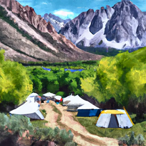 Convict Lake Campground
|
||
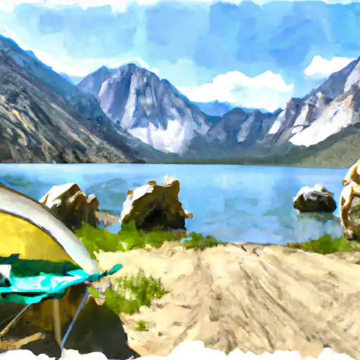 Convict Lake
|
||
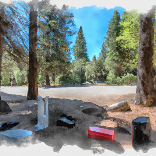 Sherwin Creek
|
||
 Sherwin Creek Campground
|
||
 McGee Creek Campground
|
||
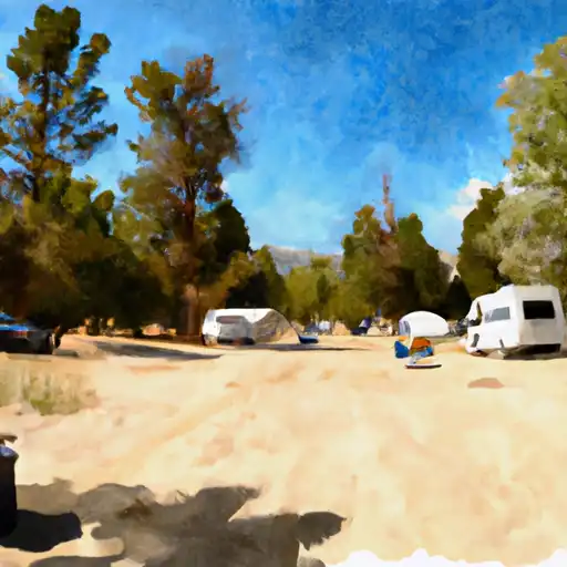 McGee Creek
|

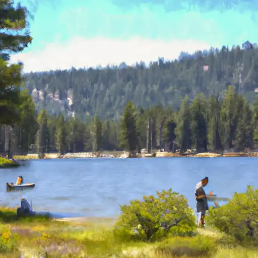 Hoof Lake
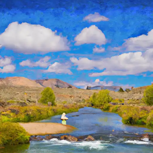 Hot Creek
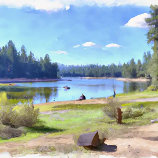 Deer Lakes
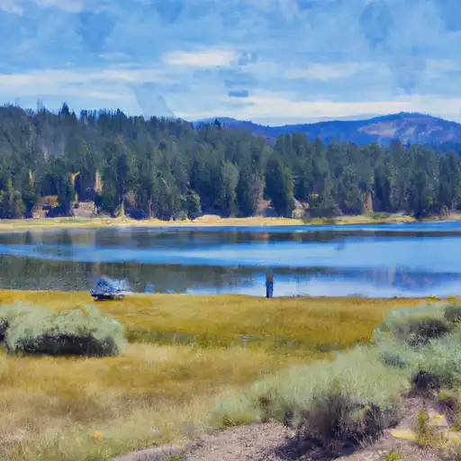 Lake Mary
 Lake Mary Fishing Site