Summary
Rising to an elevation of 8,950 feet (2,728 meters), this iconic formation offers breathtaking panoramic views of the surrounding landscape. With a sizeable base and a distinctive shape, it attracts both hikers and climbers seeking a challenging adventure.
During the winter season, Lembert Dome experiences heavy snowfall, creating a snowpack that can range from several feet to over ten feet deep. This accumulation of snow makes the ascent more challenging and requires proper equipment and experience. The snowpack also contributes to the formation of various creeks and rivers that run off from the mountain, such as the Tuolumne River and the Dana Fork.
The name "Lembert Dome" originates from the famous early California mountaineer and geologist, Jean Baptiste Lembert. Lembert was known for his exploration and research in the Sierra Nevada region during the late 1800s. Although there are no specific legends or lore associated with Lembert Dome, its magnificent presence and historical ties make it a popular destination for outdoor enthusiasts and a testament to the rich mountaineering history of the area.
°F
°F
mph
Wind
%
Humidity

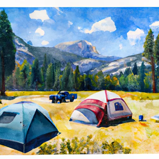 Tuolumne Meadows
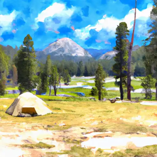 Tuolumne Meadows - Yosemite National Park
 Vogelsang Backpacker Camp
 Backpacker's Wilderness Campsite
 Tioga Lake
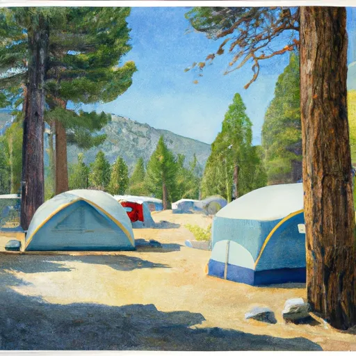 Tioga Lake Campground
 Finger Lake
 Alpine Lake
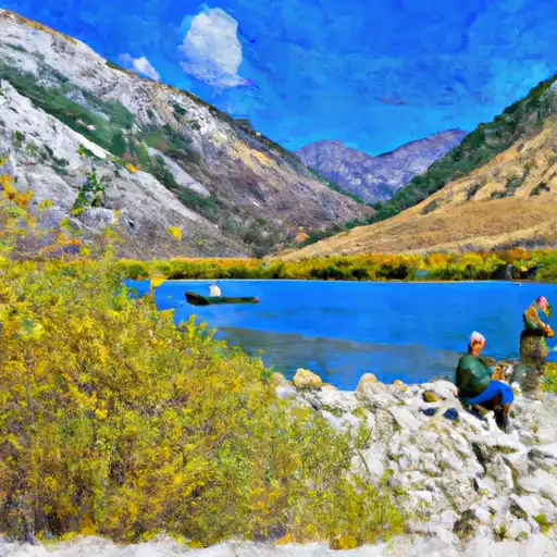 Lundy Lake
 Virginia Lakes