Summary
Sitting at an elevation of approximately 12,944 feet, it offers a challenging and rewarding mountaineering experience for enthusiasts. This majestic peak boasts an impressive size, with a prominence of around 2,134 feet, making it a prominent landmark in the region.
During the winter season, Lone Pine Peak receives significant snowfall, contributing to its allure for winter mountaineering. The snowpack range can vary depending on the particular year, but on average, it typically accumulates several feet of snow, creating ideal conditions for backcountry skiing and snowboarding. The mountain's location and elevation also contribute to its snowpack's longevity, allowing for winter sports enthusiasts to enjoy the area well into the spring.
Lone Pine Peak provides a source of runoff for various creeks and rivers in the surrounding area. The most notable of these is the Lone Pine Creek, which originates from the meltwater of the mountain's snowpack. This creek flows through the town of Lone Pine, providing a valuable water source for the community and supporting the region's diverse ecosystem.
As for its name, Lone Pine Peak gets its moniker from the town of Lone Pine, situated at the base of the mountain. The name itself has a historical significance, stemming from a lone pine tree that once stood near the current location of the town. Despite its demise in a windstorm in 1950, the name continues to be associated with the peak, creating a connection to the area's local lore and legends.
Overall, Lone Pine Peak stands as an impressive and challenging mountaineering destination in the Pacific Ranges. Its elevation, size, snowpack range, and contribution to local water sources make it a noteworthy peak in the region, attracting both adventurous mountaineers and winter sports enthusiasts alike.
°F
°F
mph
Wind
%
Humidity
15-Day Weather Outlook
5-Day Hourly Forecast Detail
Regional Streamflow Levels
34
Cubic Feet Per Second
60
Cubic Feet Per Second
20
Cubic Feet Per Second
138
Cubic Feet Per Second
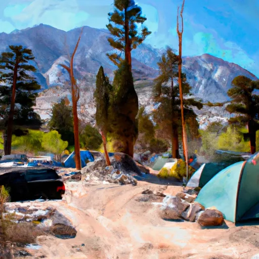
Area Campgrounds
| Location | Reservations | Toilets |
|---|---|---|
 Whitney Portal Group Campground
|
||
 Whitney Portal
|
||
 Whitney Portal Campground
|
||
 Mt. Whitney Trailhead Campground
|
||
 Ravine Campground
|
||
 Outpost Camp
|

 Camp Lake
 Meysan Lake
 Lone Pine Lake
 North Fork Lone Pine Creek
 Mirror Lake