Summary
With an impressive elevation of 11,053 feet (3,369 meters), it is renowned for its stunning alpine scenery and world-class recreational opportunities. Mammoth Mountain is part of the Inyo National Forest and is situated in the vicinity of the town of Mammoth Lakes.
During the winter season, Mammoth Mountain boasts an exceptional snowpack range, making it a paradise for winter sports enthusiasts. The mountain receives an average of over 400 inches (10 meters) of snow annually, offering excellent conditions for skiing, snowboarding, and other winter activities. Its vast size, encompassing over 3,500 skiable acres, ensures ample space for visitors to explore and enjoy the mountain's diverse terrain.
Mammoth Mountain is also a significant source of runoff for the region. Several creeks and rivers, including the San Joaquin River, Owens River, and Mono Lake, receive water from the melting snow on the mountain. This provides valuable freshwater resources for numerous ecosystems and communities downstream.
The name "Mammoth" is believed to have originated from the discovery of fossilized remains of the extinct mammal, the American mastodon, in the area during the 1800s. The mountain holds an intriguing history and is home to various legends and lore. One notable tale tells of a hidden gold mine located somewhere on the mountain, which has captivated treasure hunters for years.
In conclusion, Mammoth Mountain is a majestic peak in the Pacific Ranges mountain range, offering breathtaking views, exceptional winter sports opportunities, and crucial water resources for the region. Its impressive elevation, abundant snowpack, and connection to significant waterways make it a beloved destination for outdoor enthusiasts and a vital part of the local ecosystem.
°F
°F
mph
Wind
%
Humidity
15-Day Weather Outlook
5-Day Hourly Forecast Detail
Regional Streamflow Levels
353
Cubic Feet Per Second
100
Cubic Feet Per Second
416
Cubic Feet Per Second
27
Cubic Feet Per Second
Area Campgrounds
| Location | Reservations | Toilets |
|---|---|---|
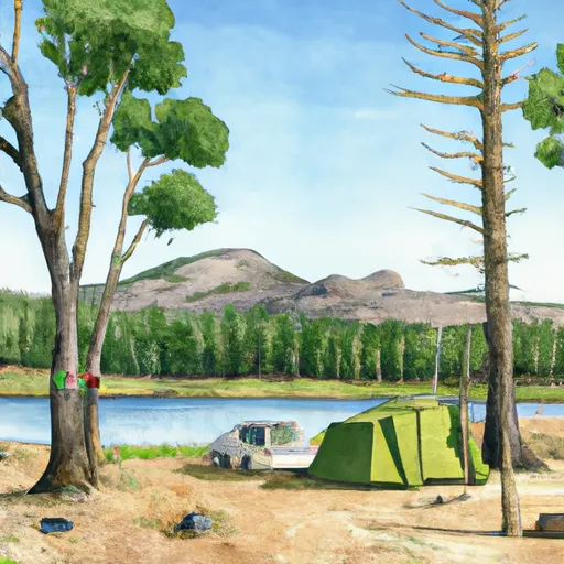 Lake Mary Campground
|
||
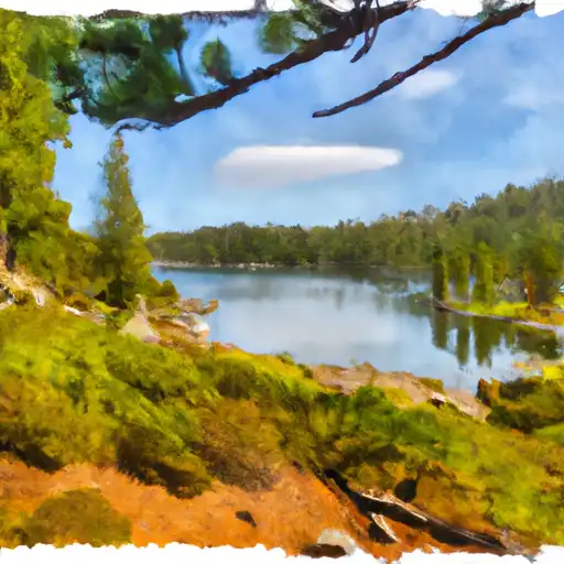 Lake Mary
|
||
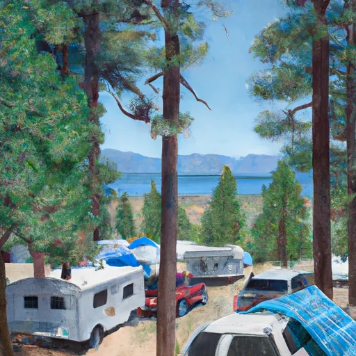 Lake George Campground
|
||
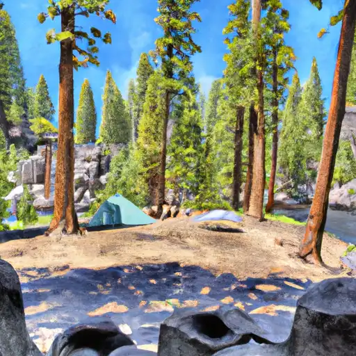 Devils Postpile
|
||
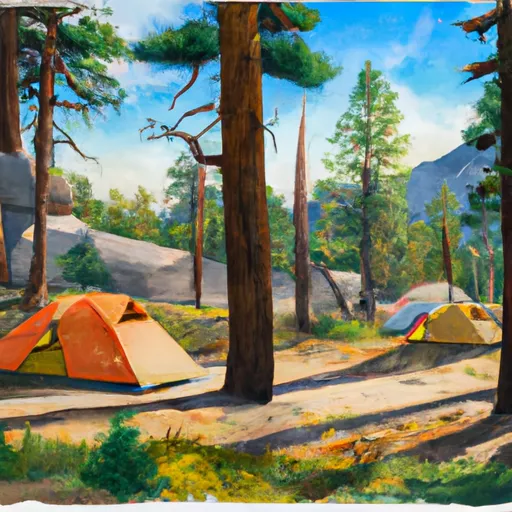 Camp High Sierra
|
||
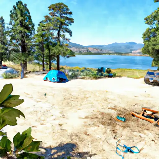 Lake George
|

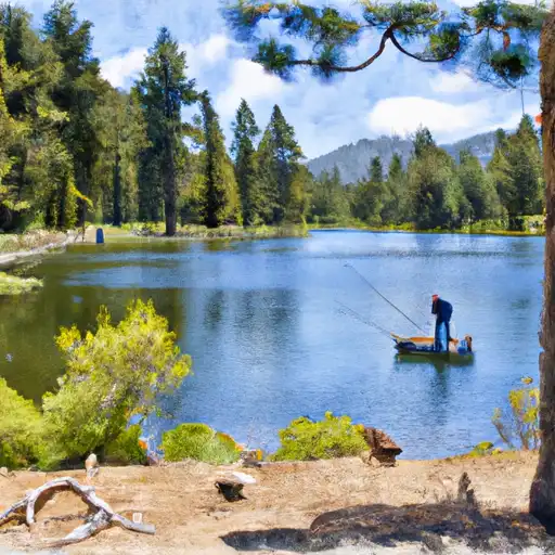
 Lake Mary Fishing Site
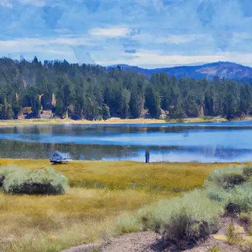 Lake Mary
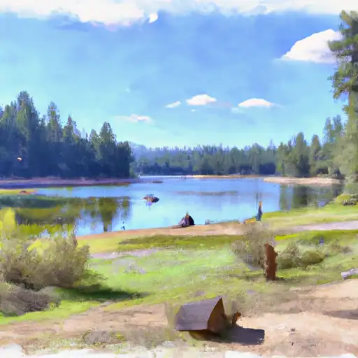 Deer Lakes
 Fern Lake
 Hot Creek