None
ESFMFR A warm sourced atmospheric river, commonly referred to as a Pineapple Express, will likely bring periods of moderate to heavy rainfall Monday afternoon through Tuesday. Current rainfall forecasts show widespread amounts of 2 to 4 inches along the coast with locally up to 6 inches in the favored coast ranges of Curry County. Up to an inch of rain is expected for many of the inland West Side valleys, with 1 to 3 inches along the Cascades and mountains and south slopes of Siskiyou County, and between a quarter of an inch and an inch across the East Side. Compounding the hydrological concerns, the warm rain is expected with snow levels well above 7000 feet, which will result in snowmelt and therefore higher than expected runoff in area watersheds. Small streams and creeks are likely to rise rapidly during this event with nuisance flooding and ponding of water on roadways during periods of heavy rain. Significant rises on main stem rivers and flashier creeks are also expected. Given that rivers are still running fairly low for this time of year, river flooding potential is a bit lower than usual, but there is at least a low probability of some flooding, especially in the Coquille Basin, and along the more flashier streams such as Deer Creek in Roseburg and Little Butte Creek in Eagle Point. While the exact scenario for the heavy rainfall and potential flooding remains uncertain, we will continue to monitor the forecasts and update accordingly. Flood Watches may be issued by the National Weather Service if this situation worsens.
Summary
It is an impressive shield volcano with an elevation of 7,795 feet (2,376 meters) and a diameter of approximately 4.3 miles (7 kilometers). This dormant volcano is known for its unique geology and fascinating natural features.
During the winter season, the snowpack on Medicine Lake Volcano varies depending on the prevailing weather conditions. The area receives an average snowfall of about 20-30 feet (6-9 meters) annually, transforming the landscape into a winter wonderland. The snowpack creates excellent opportunities for winter sports enthusiasts, such as skiing, snowshoeing, and snowmobiling.
Medicine Lake Volcano is the source of several creeks and rivers that receive runoff from its slopes. These include the Medicine Lake Creek, which flows to the south and eventually joins the Pit River, and the Squaw Valley Creek, which drains the eastern side of the volcano. The runoff from the mountain contributes to the water supply of the surrounding area, supporting diverse ecosystems and providing habitats for various wildlife species.
The name "Medicine Lake" has a fascinating history. It is derived from the Native American tribes that once inhabited the region, who believed that the lake had healing powers. According to legends, the water of Medicine Lake possessed medicinal properties and was used for various therapeutic purposes. Today, the volcano and the lake continue to be revered by indigenous communities and hold cultural significance.
Sources:
- United States Geological Survey (USGS) - https://volcanoes.usgs.gov/volcanoes/medicine_lake/
- Pacific Crest Trail Association - https://www.pcta.org/discover-the-trail/geology/volcanic-features/
°F
°F
mph
Wind
%
Humidity
15-Day Weather Outlook
5-Day Hourly Forecast Detail
Regional Streamflow Levels
6
Cubic Feet Per Second
168
Cubic Feet Per Second
128
Cubic Feet Per Second
3,450
Cubic Feet Per Second
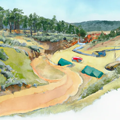
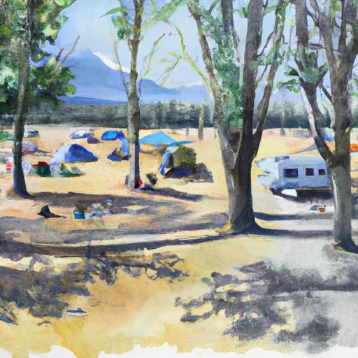
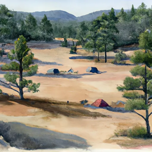
Area Campgrounds
| Location | Reservations | Toilets |
|---|---|---|
 Medicine Lake Recreation Area
|
||
 Hemlock
|
||
 Medicine
|
||
 Schonchin Springs Campground
|
||
 Schonichin Springs
|
||
 Headquarters Campground
|
