Summary
Standing at an elevation of 14,012 feet (4,271 meters), it is an attractive objective for mountaineers seeking a challenging ascent. The mountain is known for its impressive size, with a summit ridge stretching approximately 1,000 feet (305 meters) in length. The Palisade Glacier, one of the largest glaciers in the Sierra Nevada, lies on the northern slopes of Middle Palisade.
During the winter season, Middle Palisade experiences significant snowpack, often reaching depths of several feet. This substantial snow accumulation poses additional challenges for climbers attempting the peak, requiring expertise in mountaineering techniques and equipment. Additionally, the mountain's proximity to the Pacific Ocean and its exposure to prevailing weather systems contribute to unpredictable snow conditions, making careful planning and route selection essential.
Middle Palisade's runoff feeds into several creeks and rivers, including the South Fork Big Pine Creek, which originates from the Palisade Glacier. This glacial meltwater provides a vital water source for the surrounding region, influencing the local ecosystem and supporting diverse plant and animal life. The mountain's role in shaping the hydrology of the area adds to its significance and ecological importance.
Regarding the history and folklore surrounding Middle Palisade, there is limited information available. It is believed that the name "Palisade" was given by the California Geological Survey in 1864, reflecting the towering and rugged nature of the mountain range. However, no specific legends or folklore pertaining to Middle Palisade have been widely documented. Mountaineering enthusiasts and historians interested in exploring the mountain's rich history and cultural significance should consult various independent sources for comprehensive and accurate information.
°F
°F
mph
Wind
%
Humidity
15-Day Weather Outlook
5-Day Hourly Forecast Detail
Regional Streamflow Levels
354
Cubic Feet Per Second
20
Cubic Feet Per Second
38
Cubic Feet Per Second
7
Cubic Feet Per Second
Area Campgrounds
| Location | Reservations | Toilets |
|---|---|---|
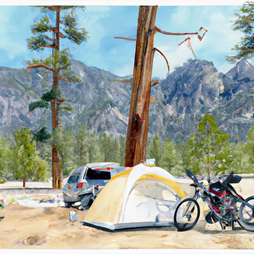 Big Pine Creek Trailhead
|
||
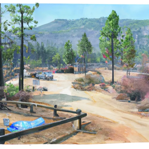 Big Pine Creek Campground
|
||
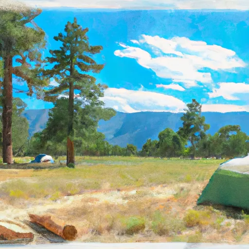 Big Pine
|
||
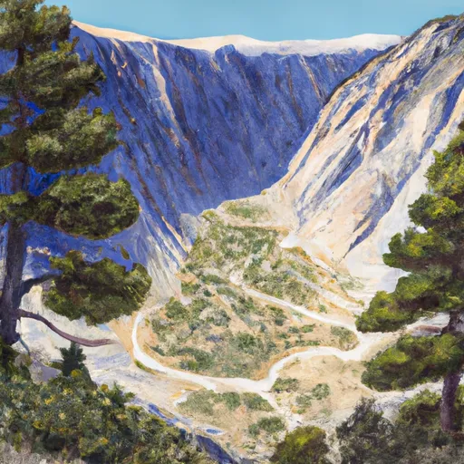 Big Pine Canyon Group- Clyde & Palisade Glacier
|
||
 Upper Sage
|
||
 Upper Sage Campground
|

 First Lake
 Red Lake
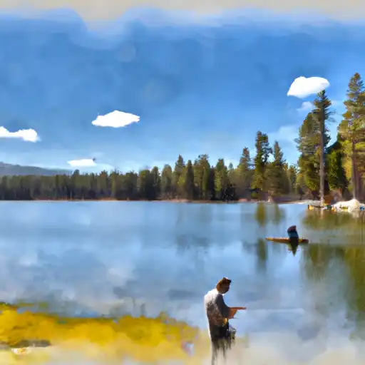 Fourth Lake
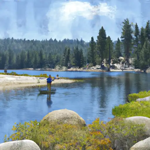 Fifth Lake
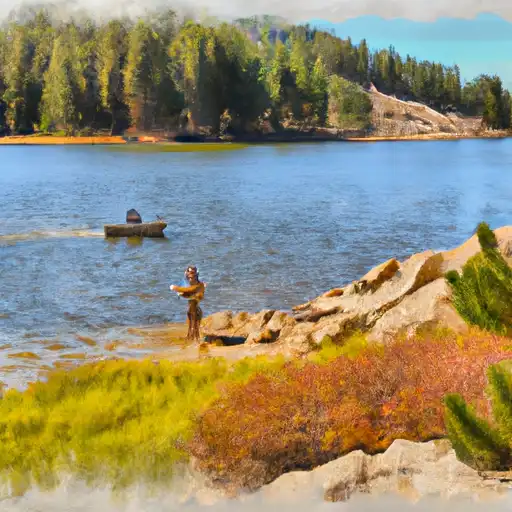 Margaret Lake