Summary
With an impressive elevation of 3,360 meters (11,020 feet), it is one of the highest peaks in the region. This majestic mountain offers a challenging climb for experienced mountaineers, featuring steep slopes and rugged terrain.
During the winter season, Mount Abbot receives a substantial amount of snowfall due to its high elevation. The snowpack range varies each year, but it typically accumulates several meters deep, creating ideal conditions for winter sports enthusiasts. The deep snowpack also contributes to the mountain's significant glaciation, adding to its allure for those seeking a thrilling mountaineering experience.
Mount Abbot is surrounded by numerous creeks and rivers, serving as crucial water sources for the surrounding landscape. These waterways receive runoff from the mountain's snowmelt, contributing to the overall hydrological system in the region. Exploring these creeks and rivers can be rewarding, as they offer beautiful views and opportunities for outdoor activities such as fishing or wildlife observation.
Regarding the history of the name and any lore or legends associated with Mount Abbot, the available sources do not provide any specific information. It is always important to consult reliable and verified sources when researching such details to ensure accuracy.
°F
°F
mph
Wind
%
Humidity

 Mosquito Flat Backpacker's Campground
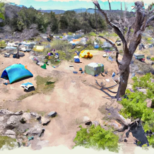 Mosquito Flat Backpacker Campground
 Mosquito Flat
 Rock Creek Lake Campground
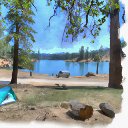 Rock Creek Lake
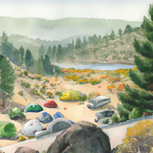 Rock Creek Lake Group Campground
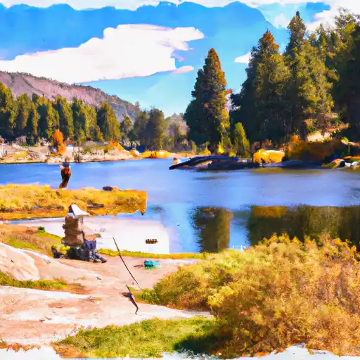 Rock Creek Lakes
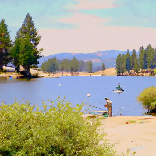 Little French Lake
 Apollo Lake
 Horton Lake
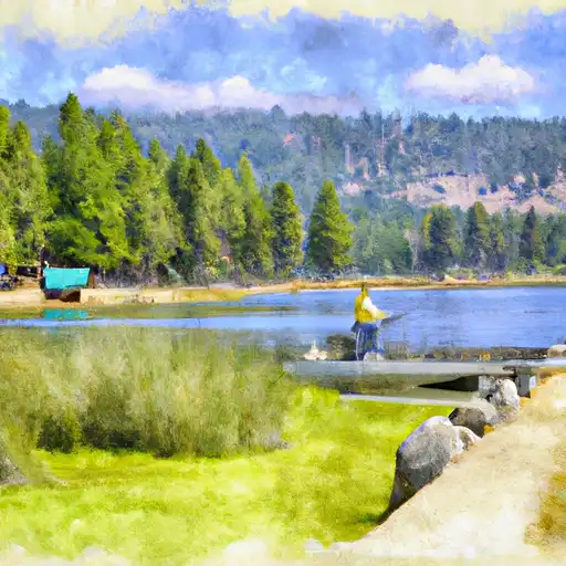 Big Chief Lake