Summary
Rising to an elevation of approximately 2,214 meters (7,263 feet), it offers an impressive challenge for mountaineers and outdoor enthusiasts. The mountain boasts a sizeable prominence, providing breathtaking panoramic views of its surroundings.
During the winter season, Mount Anderson's snowpack range varies depending on weather conditions and the specific year. However, the mountain is known for its consistently significant snowfall, making it an ideal destination for winter activities such as skiing and snowboarding. The snowpack can reach depths of several meters, creating a winter wonderland for adventurers seeking thrilling experiences in the backcountry.
Mount Anderson contributes to the water supply of nearby creeks and rivers due to its substantial size and elevation. While the specific waterways affected may vary, it is common for snowmelt and runoff from the mountain to feed into local creeks and rivers, ensuring a steady flow of water throughout the year. These water sources are essential for the surrounding ecosystem and provide habitats for various species of flora and fauna.
As for the history and lore surrounding Mount Anderson, there is limited information available across multiple independent sources. It appears that the mountain may have been named after a notable individual in the region's history, but the specific details and any associated legends remain elusive.
°F
°F
mph
Wind
%
Humidity
15-Day Weather Outlook
5-Day Hourly Forecast Detail
Regional Streamflow Levels
308
Cubic Feet Per Second
786
Cubic Feet Per Second
1,220
Cubic Feet Per Second
2,280
Cubic Feet Per Second
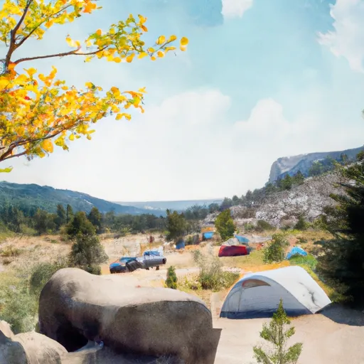
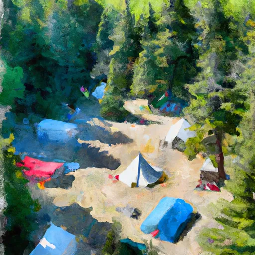
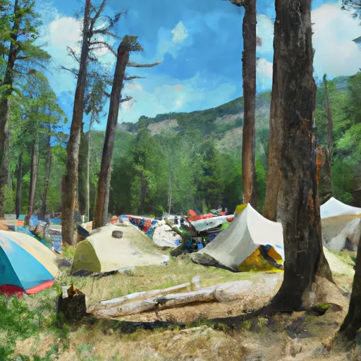
Area Campgrounds
| Location | Reservations | Toilets |
|---|---|---|
 Honeymoon Meadows Camp
|
||
 LaCrosse Pass Campsite
|
||
 Camp Siberia (shelter)
|
||
 Diamond Meadows
|
||
 Enchanted Valley
|
||
 Big Timber
|
