2026-02-23T13:00:00-08:00
Snow levels will range between 3,000 to 4,000 ft. * WHAT...Snow expected. Total snow accumulations 8 to 12 inches. * WHERE...Cascades of Snohomish and Northern King Counties and Cascades of Whatcom and Skagit Counties. * WHEN...From 8 PM this evening to 1 PM PST Monday. * IMPACTS...Travel could be very difficult to impossible. The hazardous conditions could impact the Monday morning commute.
Summary
Standing at an impressive elevation of 6,125 feet (1,867 meters), it offers breathtaking panoramic views of the surrounding Cascade Mountains. This majestic mountain is known for its rugged terrain, making it a popular destination for experienced mountaineers seeking a challenging ascent.
During the winter season, Mount Baring receives a significant amount of snowfall, transforming it into a winter wonderland for snow sports enthusiasts. The snowpack ranges from approximately 10 to 15 feet (3 to 4.5 meters) in depth, providing ideal conditions for activities like snowshoeing and backcountry skiing. It is essential for climbers to be well-prepared and equipped with proper gear and avalanche safety knowledge due to the potential hazards of the snowy slopes.
Mount Baring also plays a significant role in the hydrology of the region, as several creeks and rivers receive runoff from its melting snow. One notable example is the North Fork Skykomish River, which originates from the mountainside. The scenic river is renowned for its pristine beauty and offers opportunities for fishing and river rafting.
In terms of its history, Mount Baring is named after Charles W. Baring, a prominent figure in the early exploration of the Pacific Northwest in the 19th century. While there are no specific legends or lore associated with this mountain, its towering presence and challenging nature have created a sense of awe and respect among mountaineers and outdoor enthusiasts. Mount Baring continues to attract adventurers who are drawn to its beauty, technical climbs, and the sense of accomplishment that comes with reaching its summit.
°F
°F
mph
Wind
%
Humidity
15-Day Weather Outlook
5-Day Hourly Forecast Detail
Regional Streamflow Levels
238
Cubic Feet Per Second
2,550
Cubic Feet Per Second
120
Cubic Feet Per Second
149
Cubic Feet Per Second
Area Campgrounds
| Location | Reservations | Toilets |
|---|---|---|
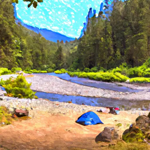 Money Creek
|
||
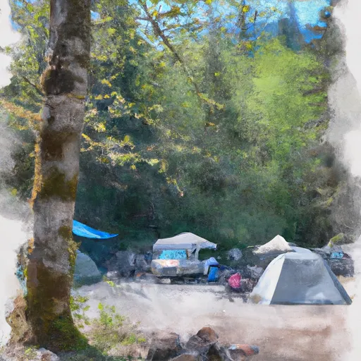 Money Creek Campground
|
||
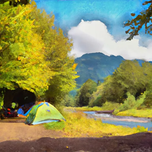 Beckler River
|
||
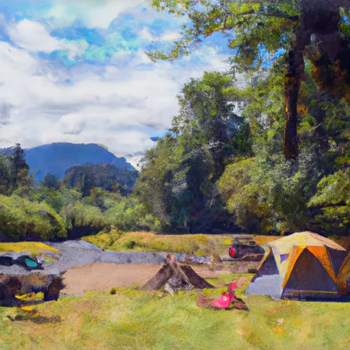 Beckler River Campground
|
||
 Skykomish Ballpark
|
||
 Miller River Campground
|
