2026-02-23T13:00:00-08:00
Snow levels will range between 3,000 to 4,000 ft. * WHAT...Snow expected. Total snow accumulations 8 to 12 inches. * WHERE...Cascades of Snohomish and Northern King Counties and Cascades of Whatcom and Skagit Counties. * WHEN...From 8 PM this evening to 1 PM PST Monday. * IMPACTS...Travel could be very difficult to impossible. The hazardous conditions could impact the Monday morning commute.
Summary
Standing at an elevation of approximately 2,585 meters (8,481 feet), it offers a challenging and rewarding mountaineering experience for enthusiasts. The mountain is characterized by its rugged and steep terrain, making it a popular destination for experienced climbers and hikers.
During the winter season, Mount Buckindy receives substantial snowfall, creating excellent conditions for backcountry skiing and snowboarding. The snowpack range varies from year to year, but typically sees depths ranging from 2 to 4 meters (6.5 to 13 feet) at higher elevations. This makes it an attractive destination for winter adventurers seeking thrilling descents and breathtaking views.
Several creeks and rivers in the surrounding area benefit from the mountain's runoff. One such example is the Chilliwack River, which originates from the glaciers and snowfields of Mount Buckindy. The river plays a vital role in the local ecosystem, providing a habitat for various species of fish and contributing to the region's natural beauty.
As for the history and lore of Mount Buckindy, the name is derived from a local Indigenous language, but specific details regarding its origin are scarce. The mountain remains a majestic symbol of the Pacific Ranges and has captivated the imagination of mountaineers and explorers for generations. While no significant legends or folklore are associated with Mount Buckindy, its challenging nature and stunning vistas continue to inspire those who venture to conquer its slopes.
°F
°F
mph
Wind
%
Humidity
15-Day Weather Outlook
5-Day Hourly Forecast Detail
Regional Streamflow Levels
360
Cubic Feet Per Second
1,080
Cubic Feet Per Second
183
Cubic Feet Per Second
37
Cubic Feet Per Second
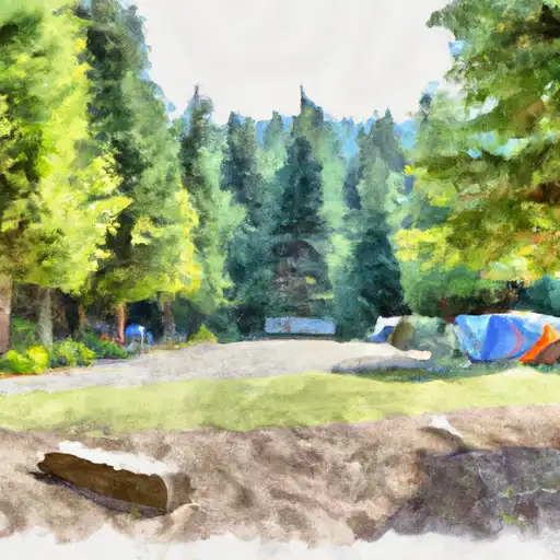
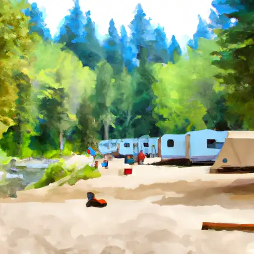
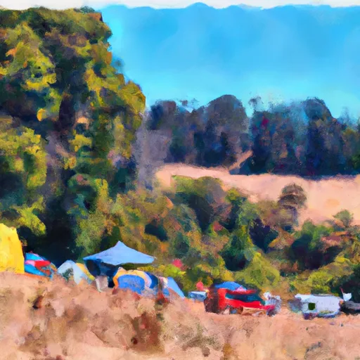
Area Campgrounds
| Location | Reservations | Toilets |
|---|---|---|
 Sulphur Creek Campground
|
||
 Mineral Park Campground
|
||
 Mineral Park
|
||
 Suiattle Guard Station
|
||
 Buck Creek
|
||
 Johannesburg Camp
|
