Summary
Standing at an elevation of 12,590 feet (3,838 meters), it offers stunning panoramic views of the surrounding area. With a prominence of 2,650 feet (808 meters), it is a popular destination for mountaineers and hikers seeking a challenging and rewarding climb.
During the winter season, Mount Conness experiences a significant snowpack due to its high elevation. Snow depths can vary greatly depending on weather conditions, ranging from several feet to over 20 feet (6 meters) in some years. This snowpack provides ample opportunities for winter sports enthusiasts, such as backcountry skiing and snowshoeing.
Several creeks and rivers receive runoff from Mount Conness, contributing to the water supply in the region. Some notable examples include Saddlebag Creek, Young Lakes Creek, and Conness Creek. These water sources not only nourish the vegetation and wildlife in the area but also provide important water resources for nearby communities.
The name of Mount Conness is attributed to the renowned Scottish mountaineer, John Conness, who served as a United States Senator from California in the mid-19th century. The mountain's name pays homage to his contributions to the development of the state. As for legends or lore associated with Mount Conness, there are no widely known stories specific to this mountain. Nevertheless, its awe-inspiring beauty and challenging nature continue to captivate and inspire mountaineers and adventurers from around the world.
°F
°F
mph
Wind
%
Humidity
15-Day Weather Outlook
5-Day Hourly Forecast Detail
Regional Streamflow Levels
27
Cubic Feet Per Second
25
Cubic Feet Per Second
100
Cubic Feet Per Second
0
Cubic Feet Per Second
Area Campgrounds
| Location | Reservations | Toilets |
|---|---|---|
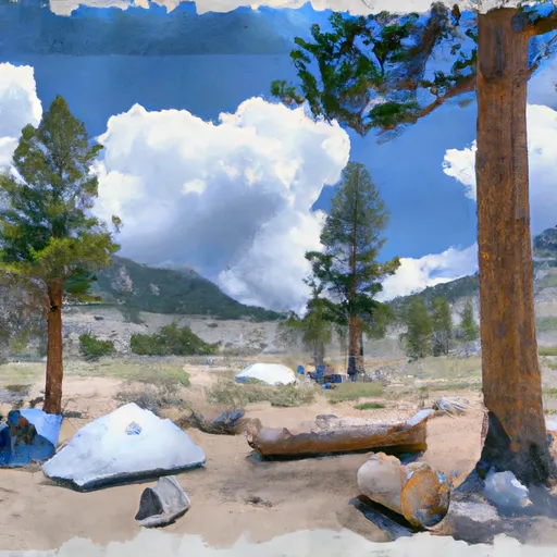 Saddlebag Lake Trailhead Group Campground
|
||
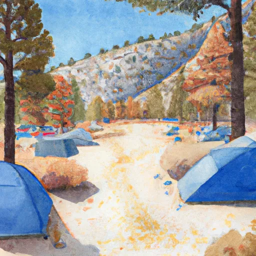 Saddlebag Lake Campground
|
||
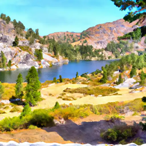 Saddlebag Lake
|
||
 Sawmill Walk-in Campground
|
||
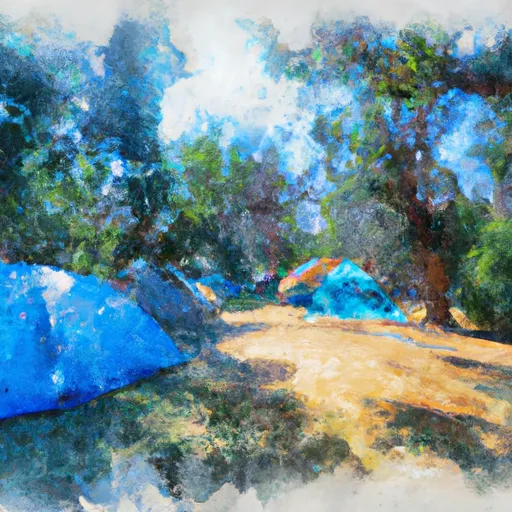 Junction Campground
|
||
 Junction
|

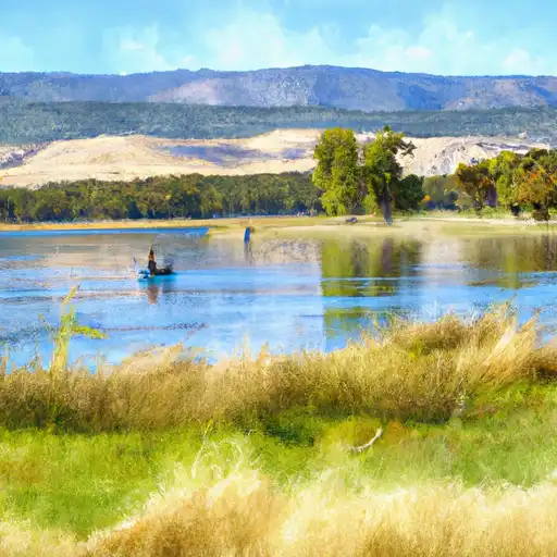 Finger Lake
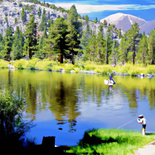 Virginia Lakes
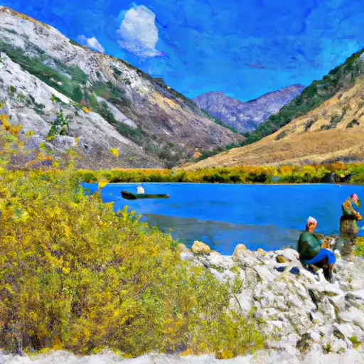 Lundy Lake
 Avalanche Lake
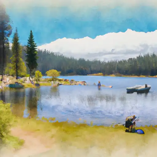 Evelyn Lake