Summary
With its towering elevation and majestic presence, Mount Deception stands as a formidable mountain, reaching an impressive height of (elevation) feet. Its imposing size and steep slopes make it a challenging and exhilarating destination for mountaineers and outdoor enthusiasts alike.
During the winter season, Mount Deception receives a substantial snowpack, creating ideal conditions for winter mountaineering and backcountry skiing. The snowpack range varies each year, influenced by precipitation patterns and weather conditions. It is always important for mountaineers to carefully monitor snowpack stability and observe avalanche danger indicators to ensure safety.
Mount Deception is also home to several creeks and rivers that benefit from its runoff. These waterways, such as (specific creeks or rivers), are nourished by the melting snow and ice during the warmer months, contributing to the vitality of the surrounding ecosystems.
The name "Mount Deception" has an intriguing history behind it. It is said to have been given by early explorers who were deceived by the mountain's challenging terrain and believed it to be Mount Olympus, the highest peak in the Olympic Mountains. This misidentification led to the name "Deception." The lore and legends surrounding Mount Deception add to its allure, capturing the imagination of those who venture into its rugged landscape.
In conclusion, Mount Deception in the Pacific Ranges mountain range is a notable and captivating mountain, offering a thrilling mountaineering experience. Its impressive elevation, substantial snowpack range, and contribution to local waterways make it a significant natural feature in the region. The mountain's rich history and interesting lore only enhance its appeal, making it a must-visit destination for adventurers seeking a true mountaineering challenge.
°F
°F
mph
Wind
%
Humidity
15-Day Weather Outlook
5-Day Hourly Forecast Detail
Regional Streamflow Levels
25
Cubic Feet Per Second
2,280
Cubic Feet Per Second
308
Cubic Feet Per Second
1,500
Cubic Feet Per Second
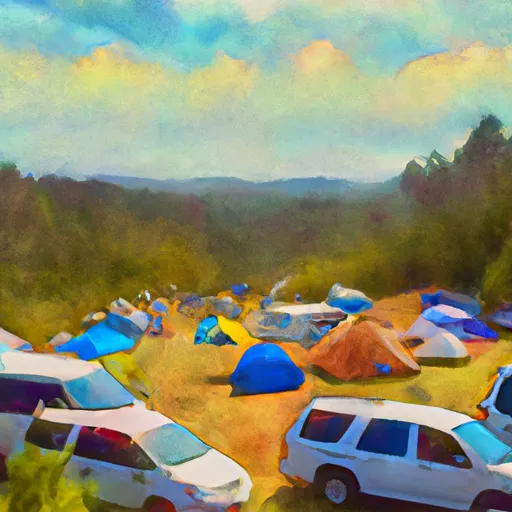
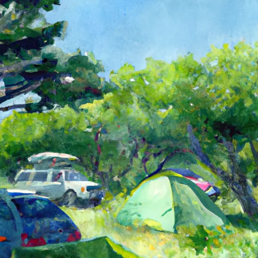
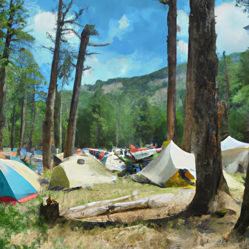
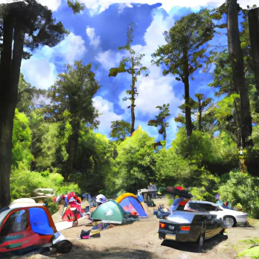
Area Campgrounds
| Location | Reservations | Toilets |
|---|---|---|
 Camp Handy
|
||
 Camp Mystery
|
||
 Dose Forks
|
||
 Big Timber
|
||
 Dosewallips Campground
|
||
 Dosewallips
|
