Summary
With an elevation of 3,849 feet (1,173 meters), it offers breathtaking panoramic views of the surrounding area, including the Sacramento Valley to the north and the San Francisco Bay Area to the west. Covering an area of approximately 20,000 acres, it is part of the larger Mount Diablo State Park, which provides ample opportunities for outdoor activities such as hiking, camping, and wildlife viewing.
During the winter season, Mount Diablo experiences a variable snowpack range, depending on weather conditions. The mountain's peak often receives a dusting of snow, creating a picturesque winter landscape. However, the snowpack is generally light and does not accumulate in significant amounts. Snow enthusiasts can occasionally enjoy short-lived snowshoeing or sledding opportunities on the higher slopes.
Several creeks and rivers originate from the slopes of Mount Diablo, thanks to the mountain's unique geology and geography. Marsh Creek, Walnut Creek, and several smaller streams receive runoff from the mountain, providing important water sources for wildlife and contributing to the area's ecological diversity.
The name "Mount Diablo" has an interesting history. It is believed to have originated from the early Spanish explorers who named it "Monte del Diablo," meaning "Thicket of the Devil" or "Devil's Mountain." The name may have been inspired by the challenging terrain, thick vegetation, or the mountain's appearance during certain weather conditions. Legend has it that the mountain was also associated with supernatural occurrences, adding to its mystical reputation. Today, Mount Diablo continues to captivate visitors with its natural beauty, rich history, and awe-inspiring vistas.
°F
°F
mph
Wind
%
Humidity
15-Day Weather Outlook
5-Day Hourly Forecast Detail
Regional Streamflow Levels
451
Cubic Feet Per Second
165
Cubic Feet Per Second
394
Cubic Feet Per Second
22
Cubic Feet Per Second
Area Campgrounds
| Location | Reservations | Toilets |
|---|---|---|
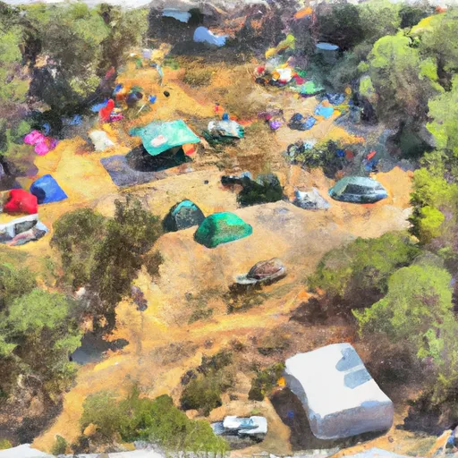 Stagecoach Group Camp
|
||
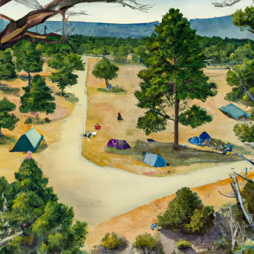 Boundary Group Camp
|
||
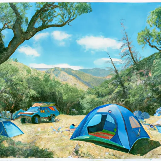 Wildcat Group Camp
|
||
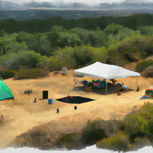 BBQ Terrace Horse Camp
|
||
 Mt. Diablo State Park
|
||
 Live Oak Campground
|
