Summary
Standing tall at an elevation of 1,564 meters (5,131 feet), it offers breathtaking views and a challenging climb for mountaineers. With its rugged terrain and unique rock formations, Mount Jupiter is popular among experienced climbers seeking an exhilarating adventure.
During the winter season, Mount Jupiter experiences a significant snowpack. The snowpack range can vary depending on weather conditions and other factors, but it typically accumulates several meters of snow. This makes it an ideal destination for backcountry skiing and snowshoeing enthusiasts, who can revel in the pristine beauty of the surrounding landscape.
Several creeks and rivers benefit from the runoff originating from Mount Jupiter. These include the Quinsam River, which flows through the nearby Quinsam Valley, and the Campbell River, which is renowned for its salmon runs. The mountain's melting snow and glacial runoff contribute to the water sources of these vital ecosystems, supporting diverse flora and fauna.
The name "Mount Jupiter" is believed to have been given by Spanish explorers who were reminded of the god Jupiter when they first saw the mountain's majestic peak. Over time, it has become an iconic name in the region, attracting adventurers and outdoor enthusiasts from all over the world.
Sources:
- "Mount Jupiter, British Columbia" - Peakbagger.com
- "Mount Jupiter Provincial Park" - BC Parks
- "Mount Jupiter" - SummitPost.org
°F
°F
mph
Wind
%
Humidity
15-Day Weather Outlook
5-Day Hourly Forecast Detail
Regional Streamflow Levels
1,500
Cubic Feet Per Second
3,140
Cubic Feet Per Second
17
Cubic Feet Per Second
2,280
Cubic Feet Per Second
Area Campgrounds
| Location | Reservations | Toilets |
|---|---|---|
 Two Mile Camp
|
||
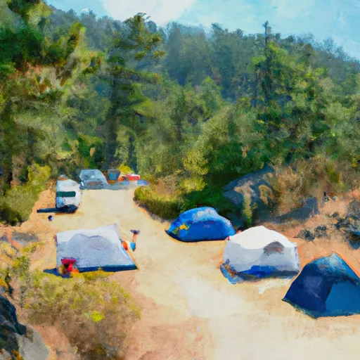
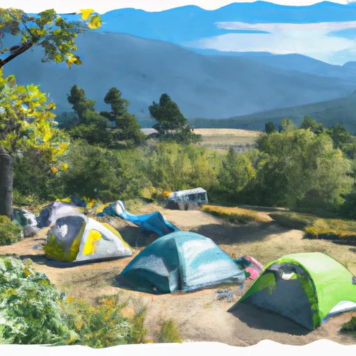 Five Mile Camp
|
||
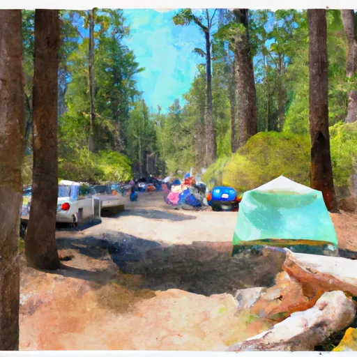
 Collins Campground
|
||
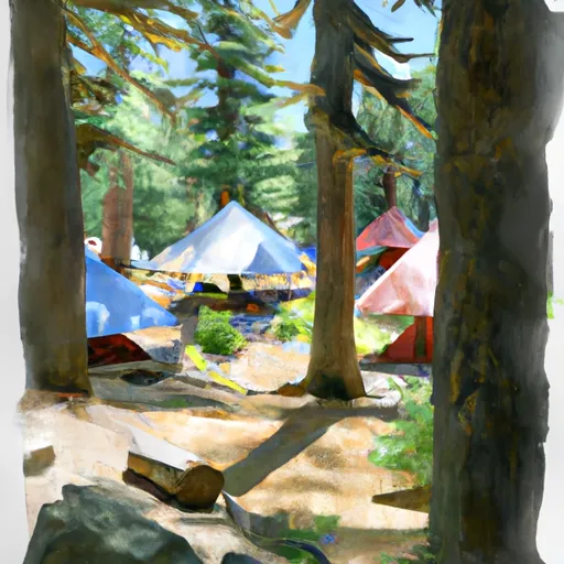
 Collins
|
||
 Interrorem Cabin
|
||
 Dosewallips
|
