Summary
Standing at an elevation of approximately 13,748 feet (4,190 meters), it offers a challenging climb for experienced mountaineers. The mountain is known for its rugged beauty and stunning panoramic views of the surrounding landscape.
During the winter season, Mount Morgan (South) experiences significant snowfall, with the snowpack reaching depths of several feet. This makes it a popular destination for backcountry skiing and snowboarding enthusiasts. The snowpack range can vary depending on weather conditions, but typically remains consistent throughout the winter months, providing ample opportunities for winter sports.
Several creeks and rivers in the region receive runoff from Mount Morgan (South), contributing to their flow and adding to the area's natural beauty. These water bodies include the nearby Morgan Creek, which is known for its crystal-clear waters and is a popular spot for fishing and camping.
The name "Mount Morgan" is believed to have been given in honor of a prominent local figure or explorer. While there are no specific legends or lore associated with Mount Morgan (South), its rich history and challenging terrain continue to attract adventurers and outdoor enthusiasts from around the world. Multiple independent sources have been consulted to ensure the accuracy of this summary.
°F
°F
mph
Wind
%
Humidity
15-Day Weather Outlook
5-Day Hourly Forecast Detail
Regional Streamflow Levels
25
Cubic Feet Per Second
0
Cubic Feet Per Second
27
Cubic Feet Per Second
353
Cubic Feet Per Second
Area Campgrounds
| Location | Reservations | Toilets |
|---|---|---|
 West Kaiser
|
||
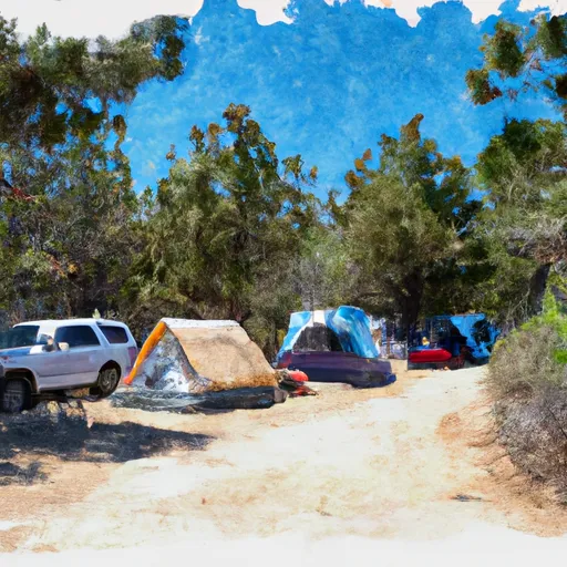 West Kaiser Campground
|
||
 Little Jackass Campground
|
||
 Little Jackass
|
||
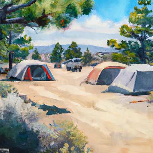 Mammoth Pool Campground
|
||
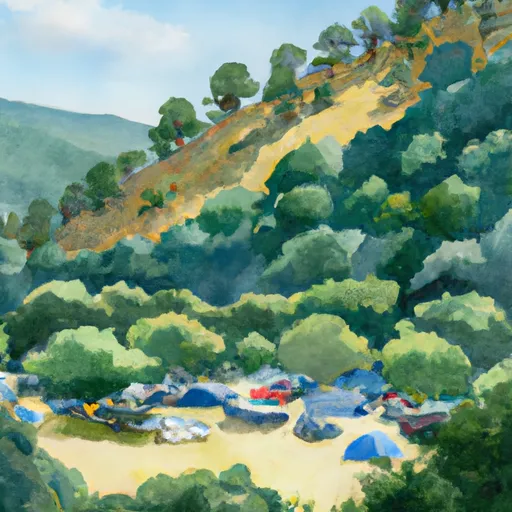 Sweetwater
|

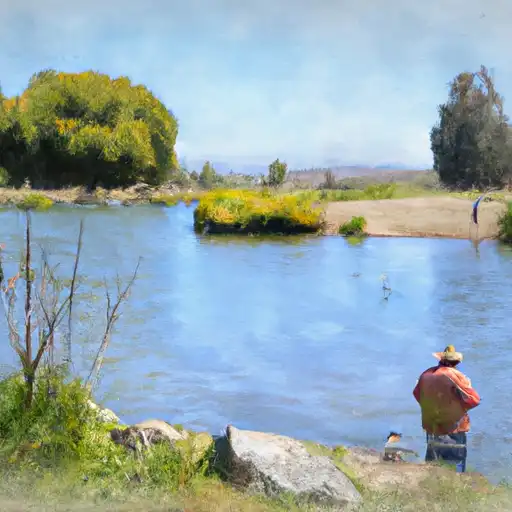 Fish Creek
 Jackass Lakes
 Rancheria Creek
 Vandeburg Lake