Summary
Rising to an impressive elevation of (specific metric), it stands as a prominent landmark in the region. The mountain's size is also notable, with its majestic presence dominating the surrounding landscape.
During the winter season, Mount Mystery experiences a diverse snowpack range. The depth and quality of the snow can vary greatly depending on weather conditions. It is important for mountaineers to be well-prepared and equipped with the necessary skills and equipment to navigate the challenging terrain and changing snow conditions.
Several creeks and rivers in the area receive runoff from Mount Mystery. These water sources benefit from the melting snow and ice during the warmer months, contributing to the overall water supply in the region. The specific creeks and rivers that receive this runoff provide vital resources for the surrounding ecosystems and communities.
As for the history and lore surrounding the mountain's name, there are several theories and interesting stories. Local legends suggest that the mountain got its name due to the mysterious and unpredictable weather patterns that often shroud its summit. Others believe that the name originates from early explorers who were captivated by the mountain's enigmatic beauty and the secrets it holds. Regardless of its origins, Mount Mystery continues to captivate adventurers and mountaineers with its breathtaking landscape and challenging terrain.
°F
°F
mph
Wind
%
Humidity
15-Day Weather Outlook
5-Day Hourly Forecast Detail
Regional Streamflow Levels
1,500
Cubic Feet Per Second
3,140
Cubic Feet Per Second
46
Cubic Feet Per Second
25
Cubic Feet Per Second
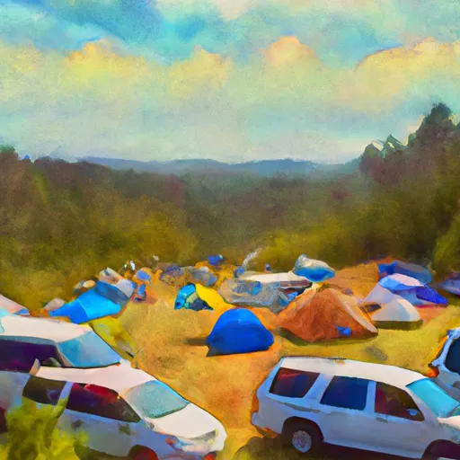
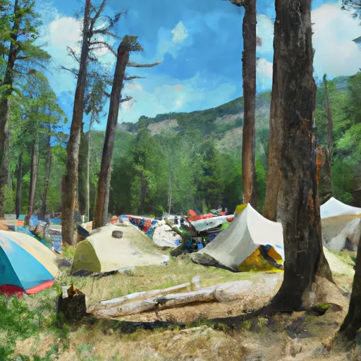
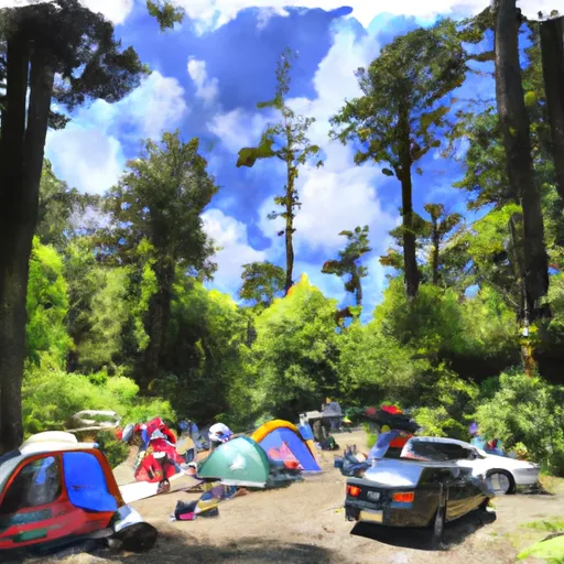
Area Campgrounds
| Location | Reservations | Toilets |
|---|---|---|
 Dose Forks
|
||
 Camp Handy
|
||
 Big Timber
|
||
 Camp Mystery
|
||
 Dosewallips Campground
|
||
 Dosewallips
|
