None
ESFMFR A warm sourced atmospheric river, commonly referred to as a Pineapple Express, will likely bring periods of moderate to heavy rainfall Monday afternoon through Tuesday. Current rainfall forecasts show widespread amounts of 2 to 4 inches along the coast with locally up to 6 inches in the favored coast ranges of Curry County. Up to an inch of rain is expected for many of the inland West Side valleys, with 1 to 3 inches along the Cascades and mountains and south slopes of Siskiyou County, and between a quarter of an inch and an inch across the East Side. Compounding the hydrological concerns, the warm rain is expected with snow levels well above 7000 feet, which will result in snowmelt and therefore higher than expected runoff in area watersheds. Small streams and creeks are likely to rise rapidly during this event with nuisance flooding and ponding of water on roadways during periods of heavy rain. Significant rises on main stem rivers and flashier creeks are also expected. Given that rivers are still running fairly low for this time of year, river flooding potential is a bit lower than usual, but there is at least a low probability of some flooding, especially in the Coquille Basin, and along the more flashier streams such as Deer Creek in Roseburg and Little Butte Creek in Eagle Point. While the exact scenario for the heavy rainfall and potential flooding remains uncertain, we will continue to monitor the forecasts and update accordingly. Flood Watches may be issued by the National Weather Service if this situation worsens.
Summary
Standing at an elevation of 14,179 feet, it is the second highest peak in the Cascades and an iconic landmark in the region. With a base diameter of approximately 17 miles, Mount Shasta is a massive stratovolcano characterized by its symmetrical cone shape and multiple glaciers, including the Whitney Glacier, which is the longest in California.
During the winter season, Mount Shasta receives heavy snowfall, transforming it into a winter wonderland for mountaineering enthusiasts. The snowpack range varies each year, with an average accumulation of 300-500 inches (7.6-12.7 meters) on the higher slopes. This abundant snowpack provides excellent opportunities for skiing, snowboarding, and snowshoeing.
Several creeks and rivers are nourished by the mountain's runoff, including the McCloud River, the Sacramento River, and the Shasta River. These water sources not only contribute to the region's biodiversity but also offer various recreational activities such as fishing and whitewater rafting.
The name "Shasta" has its roots in Native American legend and history. The Wintu people, who have inhabited the area for thousands of years, referred to the mountain as "Uytaahkoo" or "White Mountain." European settlers later named it "Shasta" after the Shasta people, a Native American tribe in the region. Mount Shasta has also gained mythical and spiritual significance over time, believed by some to be a sacred place or a gateway to other dimensions. Its allure has attracted numerous spiritual seekers, giving rise to tales of hidden cities, UFO sightings, and mystical experiences.
Overall, Mount Shasta offers a combination of natural beauty, recreational opportunities, and intriguing legends, making it a popular destination for mountaineers, outdoor enthusiasts, and those seeking a transcendent experience.
°F
°F
mph
Wind
%
Humidity
15-Day Weather Outlook
5-Day Hourly Forecast Detail
Regional Streamflow Levels
41
Cubic Feet Per Second
313
Cubic Feet Per Second
5,820
Cubic Feet Per Second
23
Cubic Feet Per Second
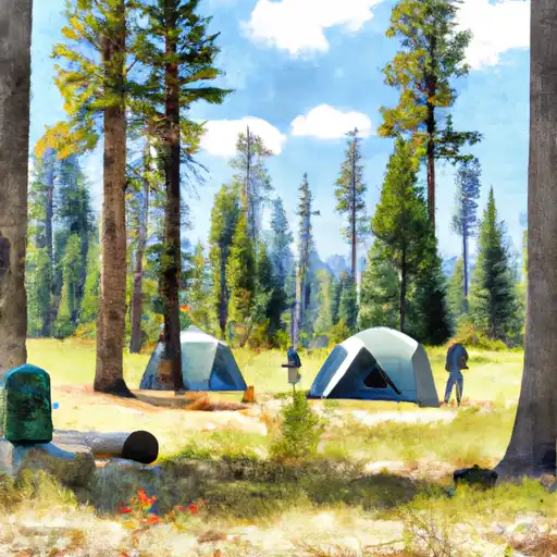
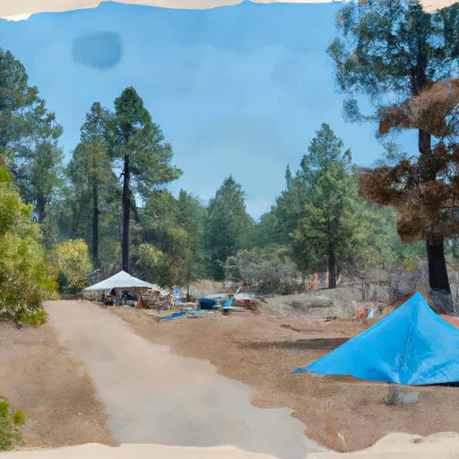
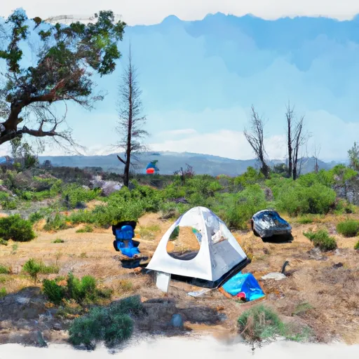
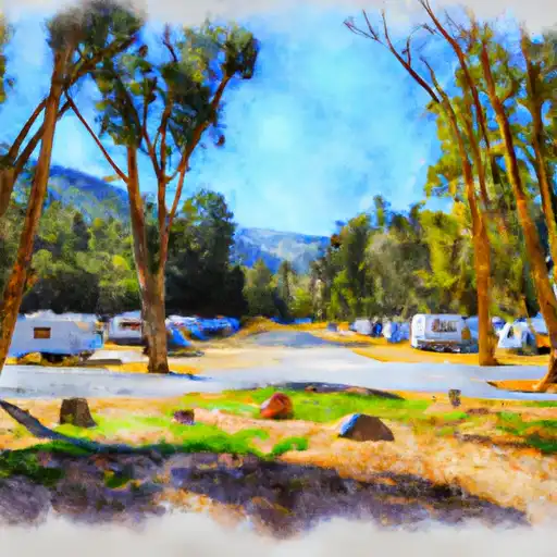
Area Campgrounds
| Location | Reservations | Toilets |
|---|---|---|
 Panther Meadows
|
||
 Panther Meadows Campground
|
||
 Bunny Flat Trailhead camping
|
||
 Red Fir Flat Group Campground
|
||
 Mcbride Springs
|
||
 McBride Springs Campground
|
