Summary
Standing at an elevation of 9,738 feet (2,968 meters), it offers breathtaking panoramic views of Lake Tahoe and the surrounding area. The mountain is known for its challenging yet rewarding hiking trails that attract outdoor enthusiasts from all over.
During the winter season, Mount Tallac receives a substantial amount of snowfall, transforming it into a winter wonderland for snow sports. Snowpack on the mountain can range from 10 to 20 feet, providing excellent opportunities for backcountry skiing, snowshoeing, and snowboarding. It is important for visitors to be prepared with proper equipment and avalanche awareness before venturing onto the mountain during this time.
Mount Tallac also serves as a significant source of runoff for nearby creeks and rivers. One such river is the Upper Truckee River, which originates from the slopes of the mountain. This river is renowned for its fishing and scenic beauty, attracting anglers and nature lovers alike.
The name "Tallac" is derived from the Washoe Native American word "daláʔak," meaning "big mountain." The indigenous people believed that the mountain was inhabited by a powerful spirit and held it in high regard. Over the years, Mount Tallac has become intertwined with captivating legends and lore, adding to its mystique and charm.
In conclusion, Mount Tallac is a majestic mountain offering stunning views, challenging hiking trails, and abundant winter recreational opportunities. Its significant snowpack during winter and contribution to the surrounding waterways make it a vital part of the region's ecosystem. Whether you are an adventure seeker or a nature enthusiast, Mount Tallac is a must-visit destination for those looking to immerse themselves in the beauty of the Sierra Nevada Mountains.
°F
°F
mph
Wind
%
Humidity
15-Day Weather Outlook
5-Day Hourly Forecast Detail
Regional Streamflow Levels
178
Cubic Feet Per Second
467
Cubic Feet Per Second
23
Cubic Feet Per Second
51
Cubic Feet Per Second
Area Campgrounds
| Location | Reservations | Toilets |
|---|---|---|
 Camp Shelley
|
||
 Bayview
|
||
 Fallen Leaf
|
||
 Fallen Leaf Campground
|
||
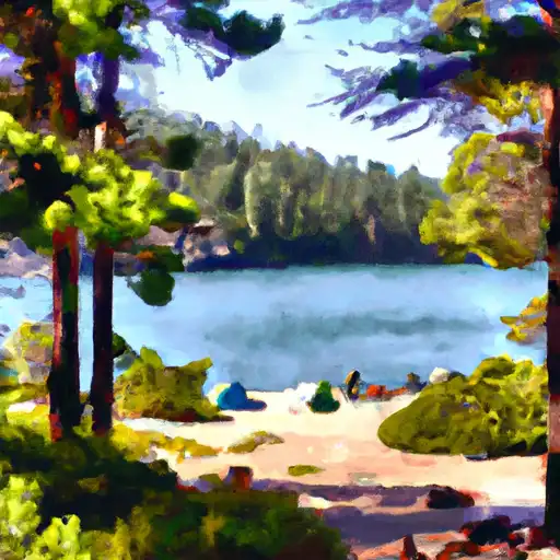 Emerald Bay State Park
|
||
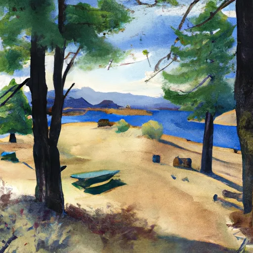 Fontanillis Lake
|

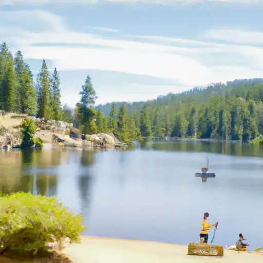 Cascade Lake
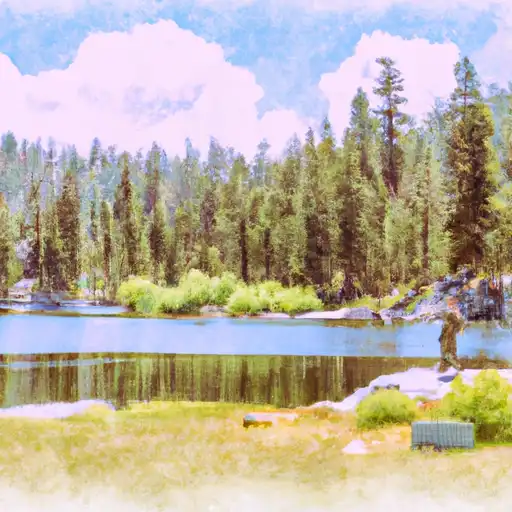 Angora Lakes
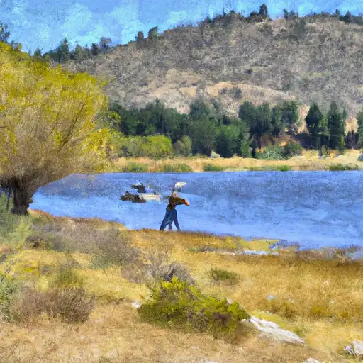 Lake Aloha
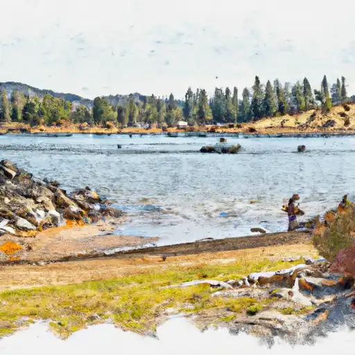 Gertrude Lake
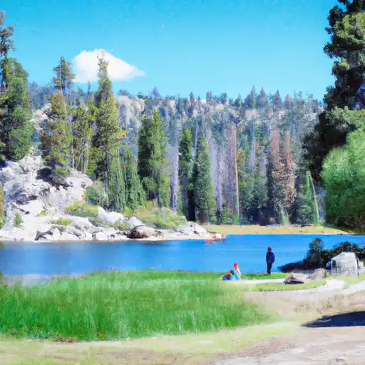 Lyons Lake