Summary
Gayley, located in the Pacific Ranges mountain range, is a prominent peak in the Sierra Nevada Mountains of California. Standing at an elevation of 13,510 feet (4,118 meters), it is one of the notable summits in the region. This majestic mountain offers breathtaking views of the surrounding landscapes, making it a popular destination for mountaineers and outdoor enthusiasts.
During the winter season, Mt. Gayley experiences a significant snowpack accumulation. The snowpack range varies each year depending on weather patterns, but it can reach several feet in depth, creating challenging conditions for climbers. This snowpack provides a playground for backcountry skiing and snowboarding enthusiasts, who are attracted to the mountain for its exhilarating slopes and untouched powder.
Mt. Gayley is known for its rugged beauty and is surrounded by several creeks and rivers that receive runoff from its snowmelt. These water sources, such as Palisade Creek and South Fork Big Pine Creek, contribute to the abundant water supply in the region, supporting diverse ecosystems and providing resources for both wildlife and human communities.
The name "Gayley" is derived from Clarence King's 1871 expedition, during which he named the peak after his friend Charles G. Gayley, a prominent member of the Sierra Club. The mountain holds no specific lore or legends, but it is deeply rooted in the history of exploration and mountaineering in the Sierra Nevada Mountains. Mt. Gayley continues to inspire adventurers with its stunning vistas and challenging terrain, beckoning climbers to explore its heights and experience the thrill of conquering this magnificent peak.
°F
°F
mph
Wind
%
Humidity
15-Day Weather Outlook
5-Day Hourly Forecast Detail
Regional Streamflow Levels
38
Cubic Feet Per Second
354
Cubic Feet Per Second
20
Cubic Feet Per Second
7
Cubic Feet Per Second
Area Campgrounds
| Location | Reservations | Toilets |
|---|---|---|
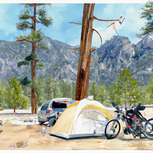 Big Pine Creek Trailhead
|
||
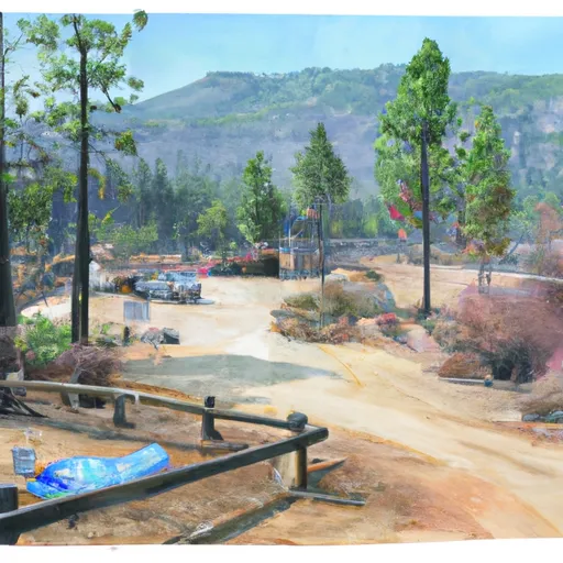 Big Pine Creek Campground
|
||
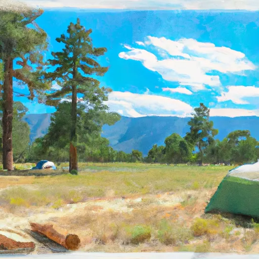 Big Pine
|
||
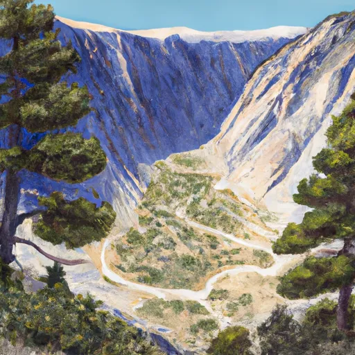 Big Pine Canyon Group- Clyde & Palisade Glacier
|
||
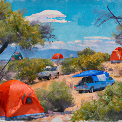 Upper Sage Campground
|
||
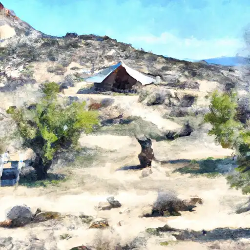 Upper Sage
|

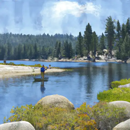 Fifth Lake
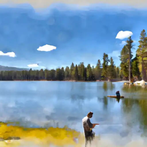 Fourth Lake
 First Lake
 Margaret Lake
 Red Lake