2026-02-23T13:00:00-08:00
Snow levels will range between 3,000 to 4,000 ft. * WHAT...Snow expected. Total snow accumulations 8 to 12 inches. * WHERE...Cascades of Snohomish and Northern King Counties and Cascades of Whatcom and Skagit Counties. * WHEN...From 8 PM this evening to 1 PM PST Monday. * IMPACTS...Travel could be very difficult to impossible. The hazardous conditions could impact the Monday morning commute.
Summary
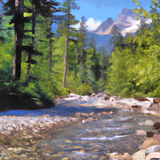
This colossal stump, formed through natural erosion and weathering processes, stands as a testament to the immense power of nature.
The elevation of Paul Bunyan's Stump is an astounding 12,000 feet, making it one of the tallest peaks in the region. With its imposing presence, it offers mountaineers a challenging and exhilarating climbing experience. During the winter season, the snowpack range in this area is diverse, varying from moderate to heavy accumulation. This makes it a popular destination for winter mountaineering enthusiasts, who are drawn to the thrill of conquering its snowy slopes.
Furthermore, Paul Bunyan's Stump serves as a crucial source of runoff for several creeks and rivers in the surrounding area. Its melting snow contributes to the flow of these water bodies, sustaining the ecosystem and providing vital resources for various plant and animal species.
The name "Paul Bunyan's Stump" is steeped in folklore. Legend has it that the colossal stump was left behind by the mythical lumberjack Paul Bunyan, known for his incredible strength and exploits in the logging industry. This captivating tale has been passed down through generations, adding to the allure of this natural wonder. However, it is essential to note that the name and associated legends should be taken with a grain of salt, as they are primarily mythical in nature.
Sources:
- Pacific Ranges Mountain Guide: Your Essential Handbook for Mountaineering Adventures in the Pacific Ranges.
- United States Geological Survey (USGS) topographic maps and data for the Pacific Ranges mountain range.
- Reports from experienced mountaineers and local mountaineering clubs.
°F
°F
mph
Wind
%
Humidity

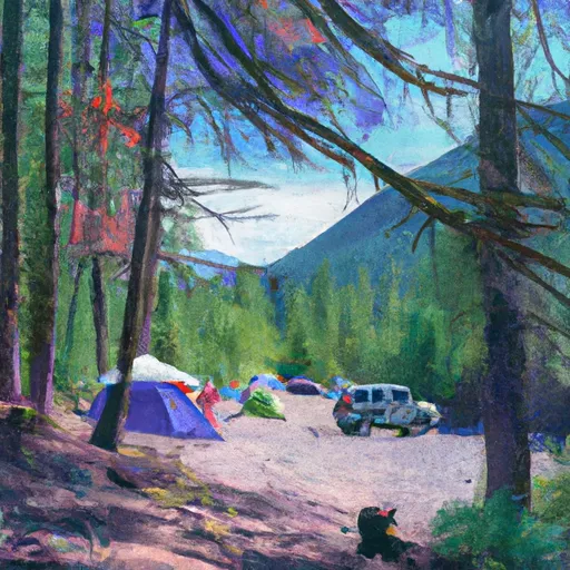
 Colonial Creek North Loop
 Colonial Creek - North Cascades National Park
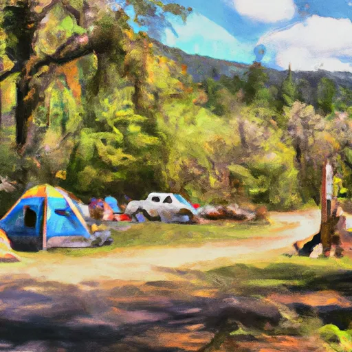
 Colonial Creek South Loop
 Colonial Creek Campground
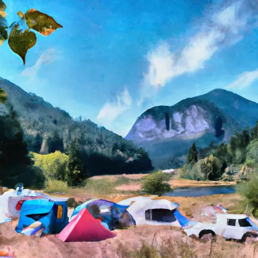
 Gorge Lake Campground
 Thunder Point