Summary
With an elevation of 8,038 feet (2,450 meters), it offers breathtaking panoramic views of the surrounding region. This mountain is a favorite among mountaineers, hikers, and nature enthusiasts due to its accessibility and stunning alpine scenery.
During the winter season, Pelican Butte receives a considerable amount of snowfall. The snowpack range can vary each year, but typically reaches its peak depth between December and February. This makes it a popular destination for winter sports enthusiasts, such as snowshoers and cross-country skiers who enjoy exploring the snowy landscapes.
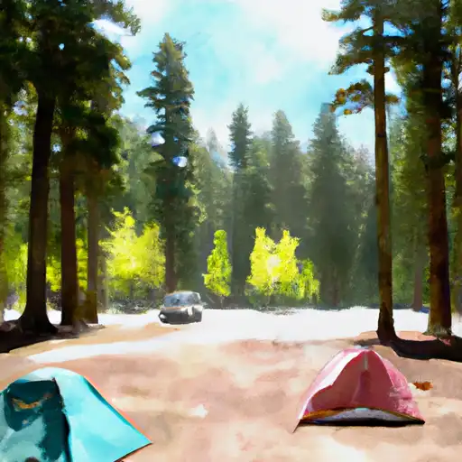
The mountain's snowmelt feeds into several creeks and rivers in the area. One notable example is Fourmile Creek, which originates from the slopes of Pelican Butte and flows into Fourmile Lake. This lake is a popular fishing destination and also an excellent spot for camping during the summer months.
The name Pelican Butte originates from the presence of American white pelicans that used to frequent the nearby Fourmile Lake. These majestic birds were often observed flying over the mountain and were a prominent feature in the area. Though there may not be many legends or lore associated with this particular mountain, its name reflects the natural beauty and wildlife that once thrived in the region.
In conclusion, Pelican Butte stands as a captivating mountain in the Pacific Ranges mountain range, offering adventurers a chance to explore its impressive elevation, experience its diverse snowpack during winter, and witness the natural waterways that flow from its slopes.
°F
°F
mph
Wind
%
Humidity
15-Day Weather Outlook
5-Day Hourly Forecast Detail
Regional Streamflow Levels
6
Cubic Feet Per Second
128
Cubic Feet Per Second
229
Cubic Feet Per Second
3,920
Cubic Feet Per Second
Area Campgrounds
| Location | Reservations | Toilets |
|---|---|---|
 Malone Springs
|
||
 Rocky Point Resort
|
||
 Harriman
|
||
 Fourmile Lake
|
||
 Odessa Campground
|
||
 Odessa
|
