2026-02-23T13:00:00-08:00
Snow levels will range between 3,000 to 4,000 ft. * WHAT...Snow expected. Total snow accumulations 8 to 12 inches. * WHERE...Cascades of Snohomish and Northern King Counties and Cascades of Whatcom and Skagit Counties. * WHEN...From 8 PM this evening to 1 PM PST Monday. * IMPACTS...Travel could be very difficult to impossible. The hazardous conditions could impact the Monday morning commute.
Summary
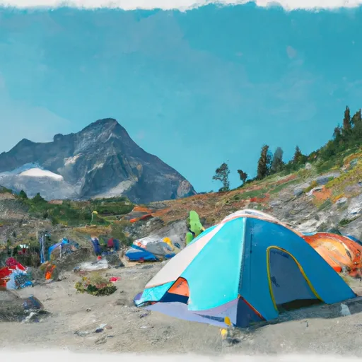
With an elevation of approximately 2,100 meters (6,890 feet), it stands as an appealing destination for mountaineers and outdoor enthusiasts. The mountain offers challenging terrain and breathtaking views, attracting both experienced climbers and hikers seeking a thrilling adventure.
During the winter season, Plummer Mountain is characterized by a diverse snowpack range, providing opportunities for various winter sports activities. The snow accumulation can vary depending on the specific weather conditions each year. However, it is common to find deep snow pockets and couloirs, making it ideal for backcountry skiing and snowshoeing.
Several creeks and rivers in the surrounding area receive runoff from Plummer Mountain's melting snowpack during the spring and summer months. This runoff contributes to the water supply of nearby tributaries, enhancing the overall ecosystem and supporting diverse wildlife in the region.
While information about the history of the name and specific lore or legends associated with Plummer Mountain may be limited, the mountain likely takes its name from a historical figure or local significance. Further research and exploration of local archives or historical sources may provide more insights into the origins and stories behind the name, adding depth and intrigue to this remarkable mountain.
°F
°F
mph
Wind
%
Humidity
15-Day Weather Outlook
5-Day Hourly Forecast Detail
Regional Streamflow Levels
379
Cubic Feet Per Second
28
Cubic Feet Per Second
127
Cubic Feet Per Second
67
Cubic Feet Per Second
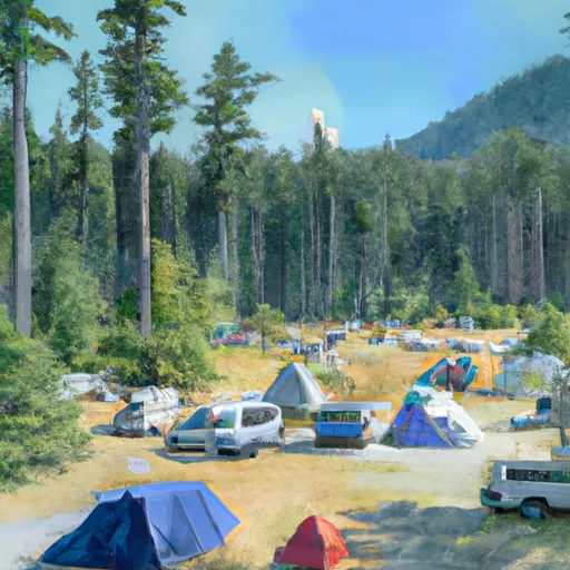
Area Campgrounds
| Location | Reservations | Toilets |
|---|---|---|
 Lady camp
|
||
 Waynes camp
|
||
 Image Lake Group Campground
|
||
 Cloudy Pass Camp
|
||
 Lyman Lake Camp
|
||
 Upper Lyman Lakes
|
