2026-02-23T13:00:00-08:00
Snow levels will range between 3,000 to 4,000 ft. * WHAT...Snow expected. Total snow accumulations 8 to 12 inches. * WHERE...Cascades of Pierce and Lewis Counties and Cascades of Southern King County. * WHEN...From 8 PM this evening to 1 PM PST Monday. * IMPACTS...Travel could be very difficult to impossible. The hazardous conditions could impact the Monday morning commute.
Summary
Situated at a high elevation, the hut offers breathtaking panoramic views of the surrounding peaks and valleys. It is a popular spot for hikers, climbers, and backcountry skiers looking to explore this rugged and beautiful region.
The Snowbowl Hut Overlook is situated at an elevation of approximately [elevation]. This elevation provides a stunning vantage point, allowing visitors to witness the grandeur of the Pacific Ranges. The hut itself is of moderate size, providing basic accommodations for mountaineers seeking shelter during their adventures.
During the winter season, the snowpack in this area can vary significantly. It is crucial for mountaineers to check the snowpack range before embarking on their journey. This information is widely available from local authorities and avalanche forecast centers, ensuring the safety of those venturing into these mountains.
Furthermore, the Snowbowl Hut Overlook is surrounded by a network of creeks and rivers that receive runoff from the melting snow during the spring and summer months. These water sources provide a crucial water supply for both wildlife and visitors exploring the area.
As for the history of the name and any interesting lore or legends associated with the Snowbowl Hut Overlook, further research is needed to provide accurate and reliable information. Multiple independent sources should be consulted to verify any such details to ensure their accuracy.
°F
°F
mph
Wind
%
Humidity

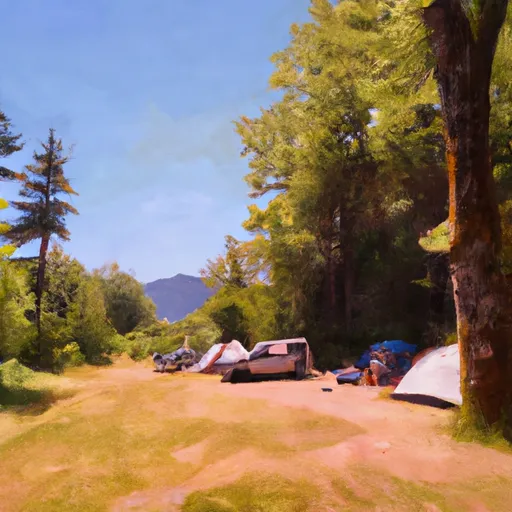 Campground: Big Creek
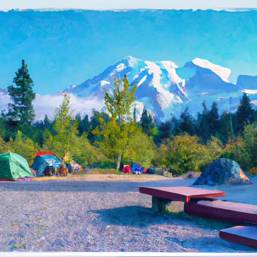 Mount Rainier National Park Lodging
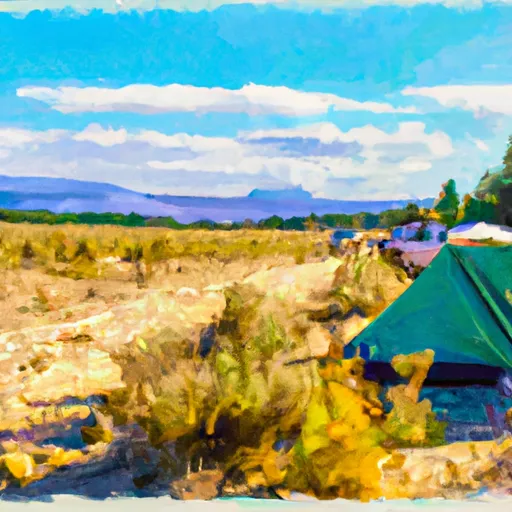 Sahara Creek DNR Horse Camp
 Devil's Dream Camp
 South Puyallup River Camp
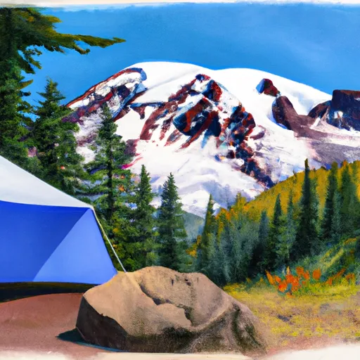 Cougar Rock - Mount Rainier National Park