Summary
Standing tall at an elevation of 10,358 feet (3,157 meters), it is the third highest summit in Oregon. As part of the larger Three Sisters Volcanic Complex, South Sister is a stratovolcano that formed as a result of successive volcanic eruptions over thousands of years.
During the winter season, South Sister Volcano receives heavy snowfall due to its high elevation. The snowpack range can vary depending on the year and weather conditions, typically ranging from 10 to 20 feet (3 to 6 meters). This makes it a popular destination for winter mountaineering and backcountry skiing enthusiasts.
The mountain's runoff feeds into several creeks and rivers in the region, including the Deschutes River and the upper reaches of the Middle Fork Willamette River. These water sources contribute to the local ecosystem and provide vital resources for the surrounding communities.
The name "South Sister" refers to its location in relation to the nearby peaks of Middle Sister and North Sister. The Native American names for these mountains translate to "Faith", "Hope", and "Charity" respectively, reflecting their significance in local folklore. Many legends and stories surround South Sister, including tales of ancient volcanic activity and spiritual connections to the land. Its prominent profile and breathtaking beauty continue to inspire awe and admiration, attracting adventurers and nature enthusiasts from far and wide.
°F
°F
mph
Wind
%
Humidity
15-Day Weather Outlook
5-Day Hourly Forecast Detail
Regional Streamflow Levels
43
Cubic Feet Per Second
2
Cubic Feet Per Second
68
Cubic Feet Per Second
96
Cubic Feet Per Second
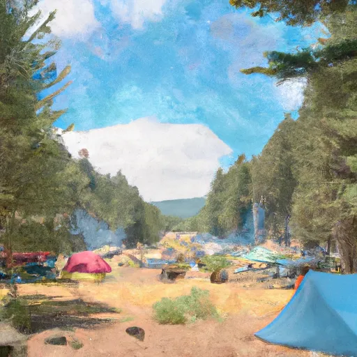
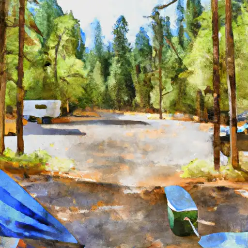
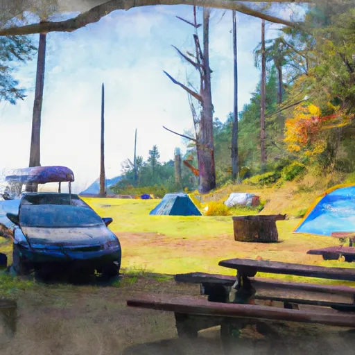
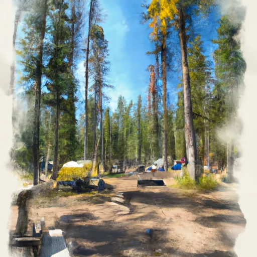
Area Campgrounds
| Location | Reservations | Toilets |
|---|---|---|
 Devils Lake Campground
|
||
 Soda Creek Campground
|
||
 Soda Creek
|
||
 Driftwood Campground
|
||
 Todd Lake Campground
|
||
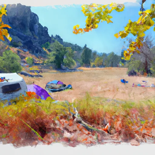 Three Creek Meadow Campground
|
