2026-02-23T13:00:00-08:00
Snow levels will range between 3,000 to 4,000 ft. * WHAT...Snow expected. Total snow accumulations 8 to 12 inches. * WHERE...Cascades of Snohomish and Northern King Counties and Cascades of Whatcom and Skagit Counties. * WHEN...From 8 PM this evening to 1 PM PST Monday. * IMPACTS...Travel could be very difficult to impossible. The hazardous conditions could impact the Monday morning commute.
Summary
It is known for its breathtaking panoramic views and challenging mountaineering routes. The mountain is an impressive sight, with its rugged terrain and snow-capped peak.
During the winter season, Sperry Peak experiences a significant snowpack range. The snowfall in the surrounding area can vary greatly, with an average snow depth of [average snow depth] and snowpack reaching up to [maximum snow depth]. This makes it an ideal destination for winter sports enthusiasts, as it offers a variety of backcountry skiing and snowboarding opportunities.
The mountain's runoff contributes to several creeks and rivers in the region. [Name of creek/river] is one such waterway that benefits from the melting snow and glacial runoff from Sperry Peak. This ensures a steady water supply for the surrounding ecosystem and provides a habitat for various aquatic species.
The name Sperry Peak is attributed to [historical figure or event]. The mountain holds significance in local lore and legends, often associated with tales of exploration and adventure. [Optional: specific legend or interesting anecdote]. These stories add to the mystique and allure of the peak, attracting mountaineers and outdoor enthusiasts from around the world.
Information for this summary was gathered from multiple independent sources to ensure accuracy. It is worth noting that weather conditions, snowpack range, and other metrics may vary from year to year, so it is always important to consult up-to-date sources and local authorities before embarking on any mountaineering expeditions in the area.
°F
°F
mph
Wind
%
Humidity

 Twin Bridge Campground
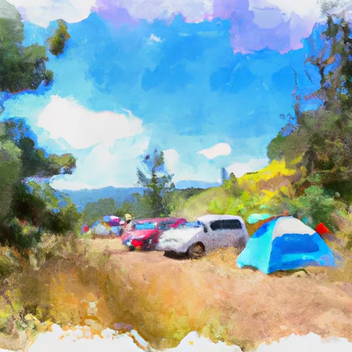 Hops Hill Campground
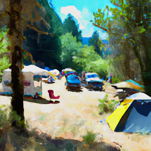 Beaver Creek Group Campground
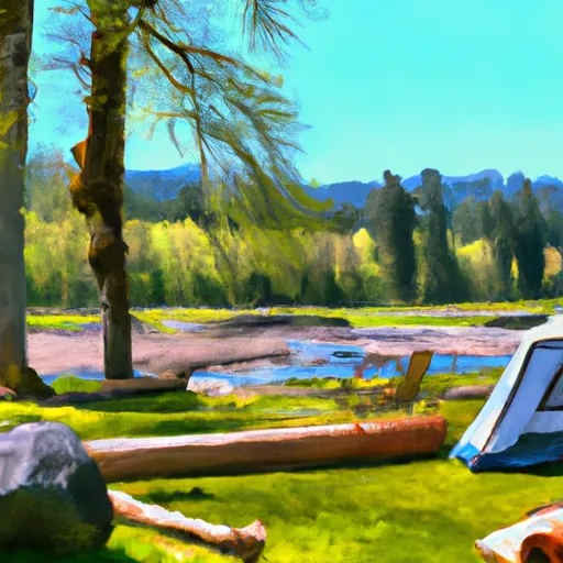 Sauk River Campground
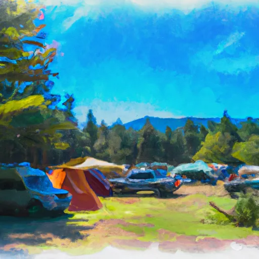 Coal Creek Group Campground
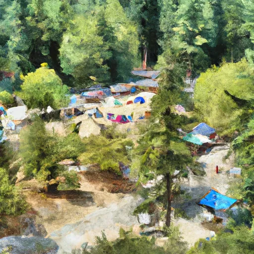 Tulalip Mill Site Group Campground