Summary
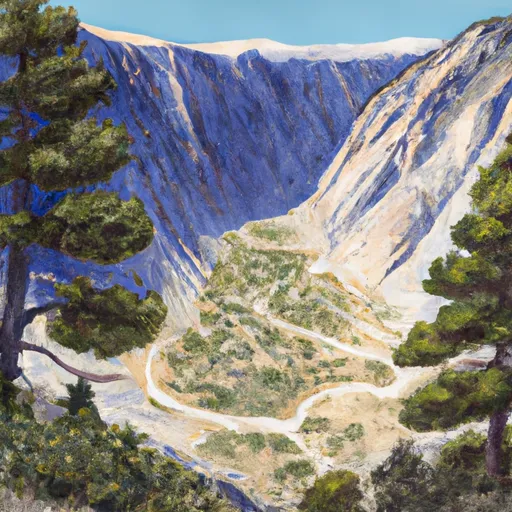
With an elevation of 14,058 feet, it is a challenging and sought-after destination for mountaineers and avid hikers. The mountain's distinctive name is derived from its unique appearance, as it features a deep and distinct split running down its face, caused by geological forces over millions of years.
During the winter season, Split Mountain receives significant snowfall, making it an attractive destination for winter sports enthusiasts. The snowpack range in this region can vary greatly depending on the year, ranging from a few feet to several meters. This deep snow accumulation often creates ideal conditions for backcountry skiing and snowboarding.
Split Mountain is also noteworthy for its contributions to the local hydrology. It is fed by several creeks and rivers that receive runoff from the mountain's melting snow during the spring and summer months. These water sources play a crucial role in supporting the surrounding ecosystems and provide valuable water resources for nearby communities.
In terms of historical significance, Split Mountain holds a special place in the lore of the region. Its name has been passed down through generations, and various legends and stories are associated with its unique geological features. Exploring these tales can provide a deeper appreciation for the mountain's cultural and historical importance.
Overall, Split Mountain in the Pacific Ranges mountain range is a majestic peak with a rich history and breathtaking natural features. Its imposing elevation, winter snowpack, and influence on local hydrology make it a significant landmark in the region.
°F
°F
mph
Wind
%
Humidity
15-Day Weather Outlook
5-Day Hourly Forecast Detail
Regional Streamflow Levels
7
Cubic Feet Per Second
38
Cubic Feet Per Second
354
Cubic Feet Per Second
20
Cubic Feet Per Second
Area Campgrounds
| Location | Reservations | Toilets |
|---|---|---|
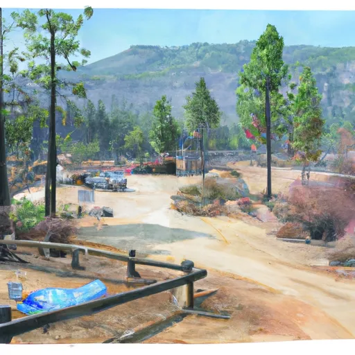 Big Pine Creek Campground
|
||
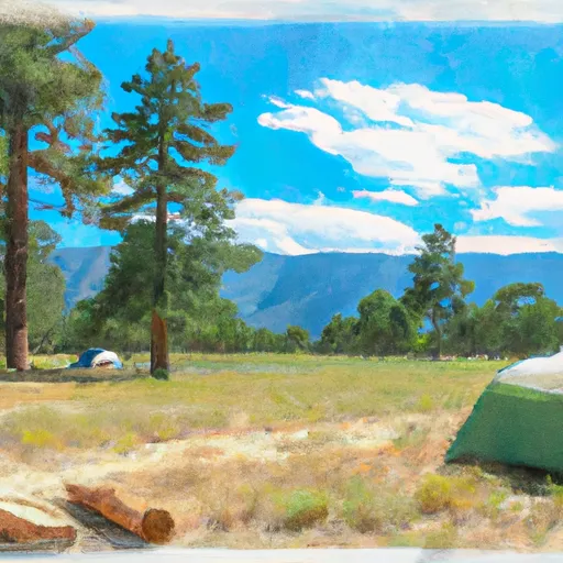 Big Pine
|
||
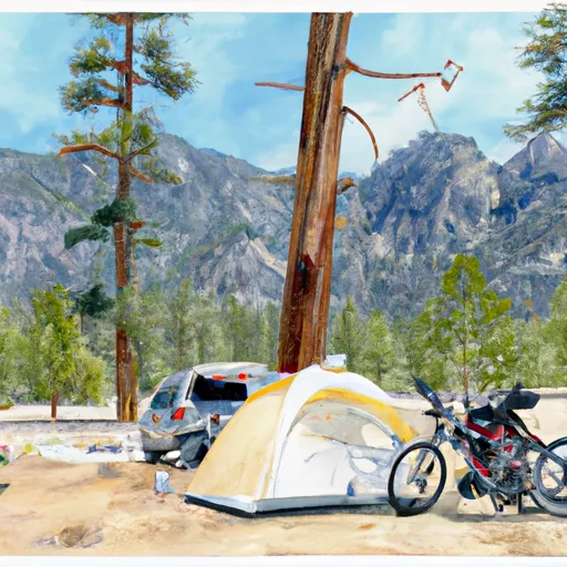 Big Pine Creek Trailhead
|
||
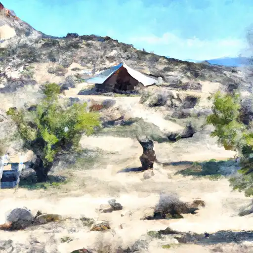 Upper Sage
|
||
 Big Pine Canyon Group- Clyde & Palisade Glacier
|
||
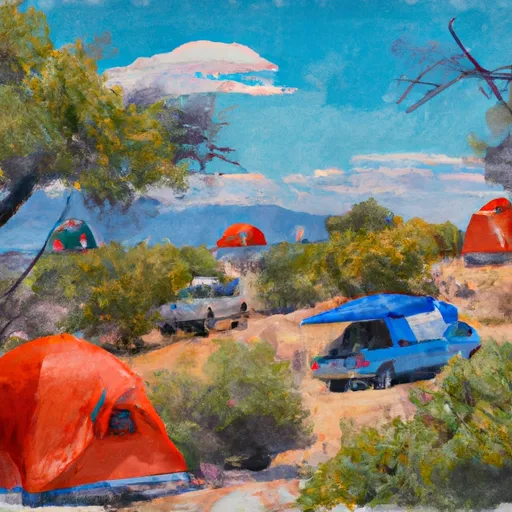 Upper Sage Campground
|

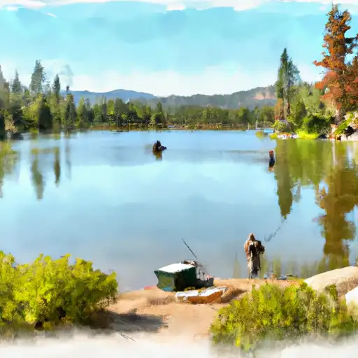 Second Lake
 First Lake
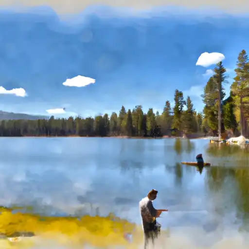 Fourth Lake
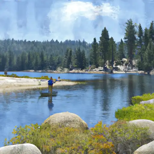 Fifth Lake
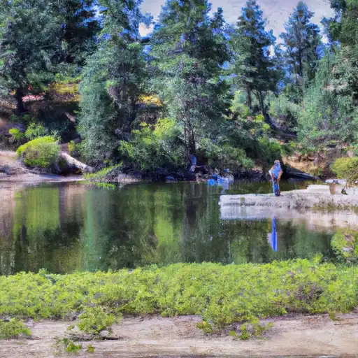 Sawmill Lake