Summary
With an elevation of approximately 14,200 feet (4,328 meters) above sea level, it stands as one of the many majestic summits in the area. The mountain is known for its picturesque beauty, featuring sheer granite walls and rugged terrain that attract mountaineers from far and wide.
During the winter season, Starlight Peak experiences a significant snowpack. The snowpack range varies year to year and largely depends on weather patterns, but it is not uncommon for the mountain to receive several feet of snow. This accumulation creates ideal conditions for winter mountaineering, with experienced climbers often taking advantage of the frozen landscape.
Starlight Peak is also known for contributing to the runoff of several creeks and rivers in the region. While it is difficult to pinpoint specific waterways without the geocoordinates, this mountain's melting snow and ice contribute to the overall water supply in the area, supporting various ecosystems downstream.
The origin of the name "Starlight" for this peak is not steeped in any particular historical event or legend. It is believed to have been named by early explorers or mountaineers who were inspired by the ethereal beauty of the night sky and the twinkling stars above the mountain. The name perfectly captures the magical and awe-inspiring experience of being on this magnificent peak, surrounded by the breathtaking natural wonders of the Sierra Nevada.
°F
°F
mph
Wind
%
Humidity
15-Day Weather Outlook
5-Day Hourly Forecast Detail
Regional Streamflow Levels
354
Cubic Feet Per Second
38
Cubic Feet Per Second
20
Cubic Feet Per Second
7
Cubic Feet Per Second
Area Campgrounds
| Location | Reservations | Toilets |
|---|---|---|
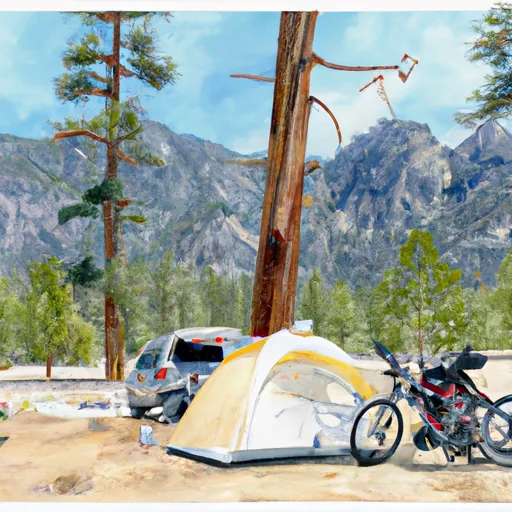 Big Pine Creek Trailhead
|
||
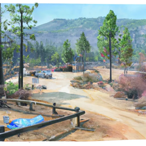 Big Pine Creek Campground
|
||
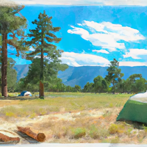 Big Pine
|
||
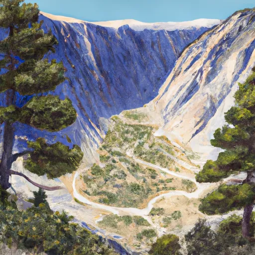 Big Pine Canyon Group- Clyde & Palisade Glacier
|
||
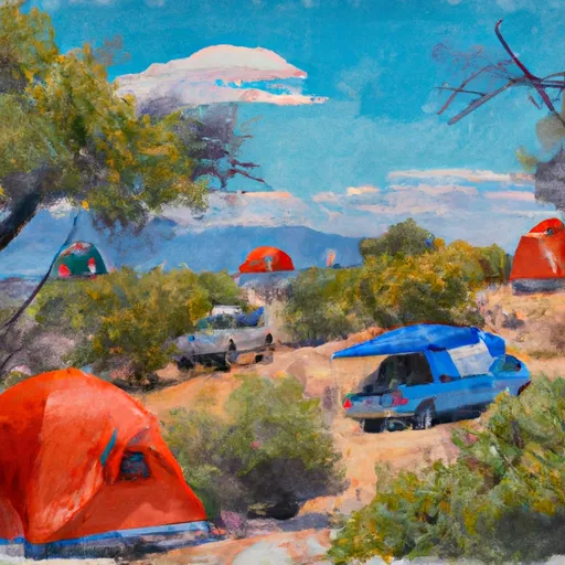 Upper Sage Campground
|
||
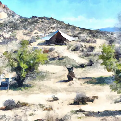 Upper Sage
|

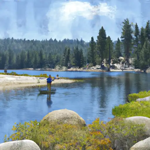 Fifth Lake
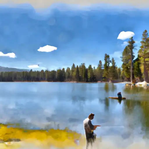 Fourth Lake
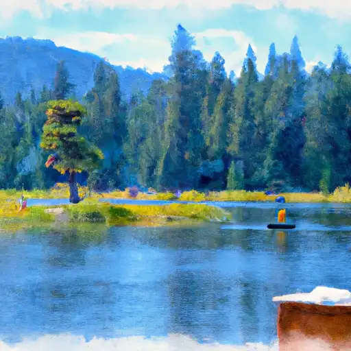 First Lake
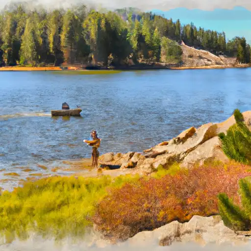 Margaret Lake
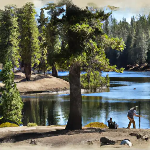 Funnel Lake